国立情報学研究所 - ディジタル・シルクロード・プロジェクト
| |||||||||
|
| Scientific Results of a Journey in Central Asia, 1899-1902 : vol.1 | |
| 1899-1902年の中央アジア旅行における科学的成果 : vol.1 |
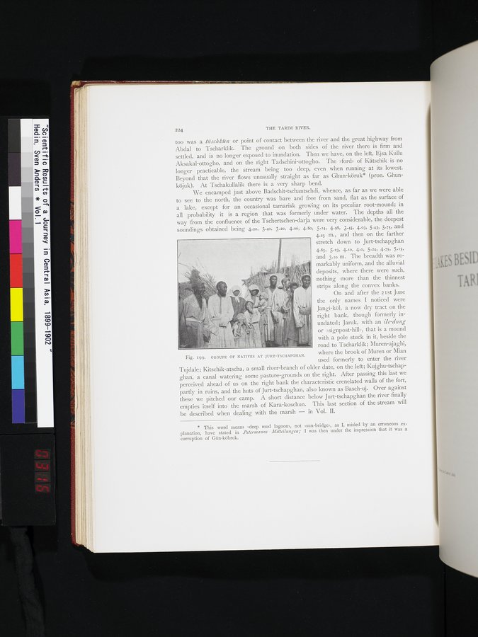 |
| ユルト・チャプガンの原住民の集団。GROUPE OF NATIVES AT JURT-TSCHAPGHAN. |
224 THE TARIM RIVER.
too was a tüschkiun or point of contact between the river and the great highway from Abdal to Tscharklik. The ground on both sides of the river there is firm and settled, and is no longer exposed to inundation. Then we have, on the left, Ejsa Kullu Aksakal-ottogho, and on the right Tadschini-ottogho. The »ford» of Kätschik is no longer practicable, the stream being too deep, even when running at its lowest. Beyond that the river flows unusually straight as far as Ghun-köruk* (pron. Ghunköjuk). At Tschakullalik there is a very sharp bend.
We encamped just above Badschit-tschantschdi, whence, as far as we were able to see to the north, the country was bare and free from sand, flat as the surface of a lake, except for an occasional tamarisk growing on its peculiar root-mound; in all probability it is a region that was formerly under water. The depths all the way from the confluence of the Tschertschen-darja were very considerable, the deepest soundings obtained being 4.20, 3.40, 3.20, 4.06, 4.8o, 5.14, 4.98, 3.45, 4.03, 5.43, 3.75, and
4.25 m., and then on the farther stretch down to Jurt-tschapghan
4.85, 5.23, 4.10, 4.0, 5.~4, 4.75, 5.15, and 3.10 m. The breadth was remarkably uniform, and the alluvial deposits, where there were such, nothing more than the thinnest strips along the convex banks.
On and after the 2 I st June the only names I noticed were Jangi-köl, a now dry tract on the right bank, though formerly inundated; Jaruk, with an ile-dung or »signpost-hill», that is a mound with a pole stuck in it, beside the road to Tscharklik; Muren-ajaghi,
Fig. 199. GROUPE OF NATIVES AT JURT-TSCHAPGHAN. where the brook of Muren or Mian
* This word means »deep mud lagoons, not »sun-bridge», as I, misled by an erroneous explanation, have stated in Petermann Mitteilungen; I was then under the impression that it was a corruption of Gün-köbruk.
used formerly to enter the river
Tujdale; Kitschik-atscha, a small river-branch of older date, on the left; Kujghu-tschapghan, a canal watering some pasture-grounds on the right. After passing this last we perceived ahead of us on the right bank the characteristic crenelated walls of the fort, partly in ruins, and the huts of Jurt-tschapghan, also known as Basch-uj. Over against these we pitched our camp. A short distance below Jurt-tschapghan the river finally empties itself into the marsh of Kara-koschun. This last section of the stream will be described when dealing with the marsh — in Vol. II.
|
Copyright (C) 2003-2019
National Institute of Informatics(国立情報学研究所)
and
The Toyo Bunko(東洋文庫). All Rights Reserved.
本ウェブサイトに掲載するデジタル文化資源の無断転載は固くお断りいたします。