国立情報学研究所 - ディジタル・シルクロード・プロジェクト
| |||||||||
|
| Southern Tibet : vol.2 | |
| 南チベット : vol.2 |
 |
So HENRY STRACHEY.
He mentions the four rivers rising, according to Tibetan mythology, from the . Gangri or the lakes. His informant properly distinguished legend from fact. The first is the Indus, Sing-Chin (or Jing) Kamba (or Kampa) on the northward, fabled
to ng s ri from the mouth of the Lion; the second is Lan _g -Chin Kamba on the west-
ward P ~~
ward (the Satrudra or Sutlej) from the mouth of the ox (Lang), although he translates Lang with elephant at another place; the third, on the southward, is the Map-chu Kamba (the Kårndli) from the Peacock (Mapchu); the fourth is the Brahmaputra to the eastward, or Tamjyak Kamba from the Horse.
The term Yang-Tang was found by Strachey to denote uncultivated pastural high lands in contradistinction to Rung-Tang, which signifies low lands with villages and agriculture. He heard that on the north side of the Gangri mountains there was a valley height, Bong or Bongbwa, Tal, Yang-Tang, inhabited by shepherds and salt carriers. He also got news about the salt and borax fields and the gold mines north of Bong, which he regarded as the Ultima Thule of Gnari.
These are the chief contents of Henry Strachey's brilliant article on his famous journey to the lakes, by which he has laid a ground of immense importance for the nvestigations of our days. He proved by his observations and report that the statements of the Lama surveyors regarding the channel were perfectly correct, although Moorcroft's narrative seemed to have indicated the reverse. If other travellers, as Moorcroft, had positively denied the function of the channel, nobody would have believed in the correctness of the Lamas' map. One would have felt tempted to regard it as a fraud or a mistake, or, at the most, one would have accepted the possibility of a connection with the Satlej ages ago, as in the case of the Panggongtso and Shayok. But, thanks to Henry Strachey's journey, it was positively proved that the communication existed in the autumn of 1846. Geographers, however, do not seem to have explained this fact as a periodicity. Even Henry Strachey himself did not at all understand the cardinal point of the problem. In a very unfortunate way he tried to explain the cause why Moorcroft had not seen the channel between the two lakes, which was found already on the Lamas' map and which Strachey had seen with his own eyes. If Strachey had had sufficient confidence in Moorcroft, he would necessarily have discovered the periodicity of the pulse of the lakes.
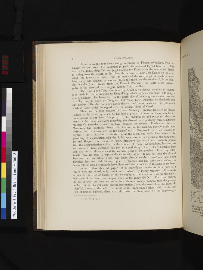
A map illustrates his paper. It is superfluous to discuss those parts of it which were not visited, only seen from a distance by Henry Strachey. He correctly represents the Tise or Kailas as not belonging to the range of »Gångri Mountains», but shows it as rising from a spur south of the range (Pl. XI). The Samo-tsangpo he has entered, but does not know from where it comes. Judging from this passage in his text he has got some correct information about the road along this river: 'In Hor-Tal, somewhat this side (i. e. west) of the Tankcham-Tarjum, which is the next east of Samoo Takchin, there is a third lake, the Gungyut.» ` Of the Tage-tsangpo
I L.oc. cit. p. 33o.
|
Copyright (C) 2003-2019
National Institute of Informatics(国立情報学研究所)
and
The Toyo Bunko(東洋文庫). All Rights Reserved.
本ウェブサイトに掲載するデジタル文化資源の無断転載は固くお断りいたします。