国立情報学研究所 - ディジタル・シルクロード・プロジェクト
| |||||||||
|
| Southern Tibet : vol.2 | |
| 南チベット : vol.2 |
 |
1
228
THOMAS W. WEBBER.
roar, the lake seemed to rise and surge up to sink into the watery depths below! The travwhich side they had mounted, but fortunately far below, so they hurried down from rock to
By the second range probably Gurla and its eastern continua..
wild and dangerous. tion is meant.
As they had to avoid the Manasarovar they decided to take the Dak Eo pass, which was supposed to save them about ten marches, — of course very much exaggerated. They reached the pass, »a ghat or passage between high walls of black basaltic rock, a veritable gate of death». Its height was close on 20,000 feet — in the text; on the map it is only 19,000.
Here they suddenly saw an extraordinary lake, black as pitch and with floating islands and glistening icebergs. The rocks trembled under their feet, terror seized
them, there was a cracking and a where they stood and the iceberg to ellers themselves even forgot from they heard the shouts of men from rock, »as if the devil were behind».
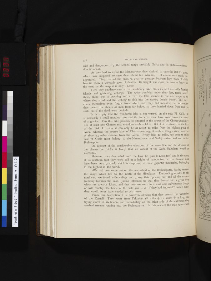
It is a pity that the wonderful lake is not entered on the map Pl. XVII. It is obviously a small moraine lake and the icebergs must have come from the snout of a glacier.. Can this lake possibly be situated at the source of the Chema-yundung? For at least one Chinese text mentions such a lake. But if it is situated at the foot of the Dak Eo pass, it can only be at about 22 miles from the highest peak of Gurla, whereas the source lake of Chema-yundung, if such a thing exists, must be at about 43 miles distance from the Gurla. Every lake 22 miles, nay even 37 miles east of Gurla must belong to the Manasarovar and Satlej system and not to the Brahmaputra.
On account of the considerable elevation of the snow line and the dryness of the climate he thinks it likely that an ascent of the Gurla Mandhata would be successful.
However, they descended from the Dak Eo pass (19,000 feet) and in the camp at its northern foot they were still at a height of 19,000 feet, so the descent must have been very gradual, which is surprising in these gigantic mountains, belonging to the highest in the world.
»We had now come out on the watershed of the Brahmaputra, having crossed the range which lies to the north of the Himalayas. Descending rapidly to the northward we found wide valleys and grassy flats opening out, and all the streams trending towards the east. Jussoo informed us that they flowed into a great river which ran towards Lhasa, and that now we were in a vast and unfrequented jungle or wild country, the home of the wild yak ...» If they had known d'Anville's maps, they would never have needed to ask Jussoo.
From this description it is, however, obvious that they crossed the watershed of the Karnali. They went from Taklakar 18 miles -I- 12 miles + >a long and trying march of 16 hours», and immediately on the other side of the watershed they reached streams running into the Brahmaputra. In this respect the map agrees with
|
Copyright (C) 2003-2019
National Institute of Informatics(国立情報学研究所)
and
The Toyo Bunko(東洋文庫). All Rights Reserved.
本ウェブサイトに掲載するデジタル文化資源の無断転載は固くお断りいたします。