国立情報学研究所 - ディジタル・シルクロード・プロジェクト
| |||||||||
|
| Southern Tibet : vol.2 | |
| 南チベット : vol.2 |
 |
i
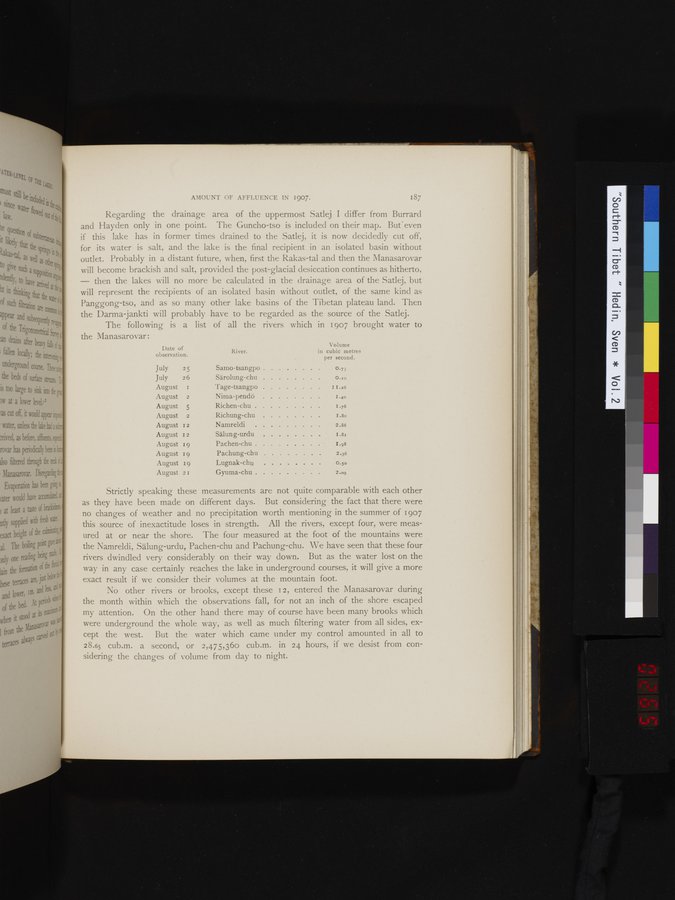
AMOUNT OF AFFLUENCE IN 1907. 187
Regarding the drainage area of the uppermost Satlej I differ from Burrard and Hayden only in one point. The Guncho-tso is included on their map. Bufeven if this lake has in former times drained to the Satlej, it is now decidedly cut off, for its water is salt, and the lake is the final recipient in an isolated basin without outlet. Probably in a distant future, when, first the Rakas-tai and then the Manasarovar Neill become brackish and salt, provided the post-glacial desiccation continues as hitherto, - then the lakes will no more be calculated in the drainage area of the Satlej, but will represent the recipients of an isolated basin without outlet, of the same kind as Panggong-tso, and as so many other lake basins of the Tibetan plateau land. Then the Darma-jankti will probably have to be regarded as the source of the Satlej.
The following is a list of all the rivers which in 1907 brought water to the Manasarovar:
Date of
observation.
Volume
River. in cubic metre
per second.
July 25 Samo-tsangpo . . . 0.73
July 26 Särolung-chu . . . . 0..0
August i Tage-tsangpo i 1.26
August 2 Nima-pendö 1.4o
August 5 Richen-chu . 1.76
August 2 Richung-chu I.8o
August z 2 Namreldi 2.86
August 12 Sälung-urdu 1.81
August 19 Pachen-chu 1.98
August 19 Pachung-chu 2.36
August 19 Lugnak-chu 0.50
August 2 r Gyuma-chu 2.09
Strictly speaking these measurements are not quite comparable with each other as they have been made on different days. But considering the fact that there were no changes of weather and no precipitation worth mentioning in the summer of 1907 this source of inexactitude loses in strength. All the rivers, except four, were measured at or near the shore. The four measured at the foot of the mountains were the Namreldi, Sälung-urdu, Pachen-chu and Pachung-chu. We have seen that these four rivers dwindled very considerably on their way down. But as the water lost on the way in any case certainly reaches the lake in underground courses, it will give a more exact result if we consider their volumes at the mountain foot.
No other rivers or brooks, except these 12, entered the Manasarovar during the month within which the observations fall, for not an inch of the shore escaped my attention. On the other hand there may of course have been many brooks which were underground the whole way, as well as much filtering water from all sides, except the west. But the water which came under my control amounted in all to 28.65 cub.m. a second, or 2,475,360 cub.m. in 24 hours, if we desist from considering the changes of volume from day to night.
|
Copyright (C) 2003-2019
National Institute of Informatics(国立情報学研究所)
and
The Toyo Bunko(東洋文庫). All Rights Reserved.
本ウェブサイトに掲載するデジタル文化資源の無断転載は固くお断りいたします。