国立情報学研究所 - ディジタル・シルクロード・プロジェクト
| |||||||||
|
| Innermost Asia : vol.2 | |
| 極奥アジア : vol.2 |
 |
Descent to Toghrakbulak.
730 EXPLORATIONS IN THE KURUK-TAGH [Chap. XX
shan range cut through the intermediate line of broken ridges. The small rocky knoll, marking the position of Azghan-bulak and lying in the same line, was reached in the dark after a march of close on 27 miles, and near it we came upon ice formed by a little spring rising in a narrow drainage bed. There we camped and next morning found the ruined roadside station only a quarter of a mile to the east by the side of a tiny stream. This is fed by a larger spring, but is also soon lost in a patch of salt-encrusted scrubby ground. The approximate elevation indicated by the aneroid was 4,400 feet.
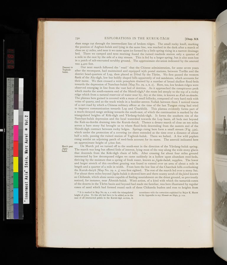
Our next march followed the ` road ' that the Chinese administration, for some seven years after the reconquest, had maintained and equipped with postal stations, between Turfân and the district head-quarters of Lop, then placed at Dôral by the Tarim. We first passed the western flank of the Ala-tagh, low but boldly shaped hills apparently of red sandstone, which accounts for their name. We then crossed a wide peneplain drained by a number of broad shallow flood-beds towards the depression of Nanchan-bulak (Map No. 29. A, B. 2). Here, too, low broken ridges were observed emerging in line from the vast bed of detritus. As it approached the conspicuous peak which marks the south-eastern end of the Shindi-tâgh,s the route led steeply to the top of a rocky ridge which from a natural reservoir of water near by, dry at the time, is known as Kak-su-dawân. The plateau here gained is covered with a maze of small hillocks, composed of very hard rock with veins of quartz, and as the track winds in a boulder-strewn Nullah between them I noticed traces of a cart road by which a Chinese military officer at the time of the last Tungan rising had tried to improve communication towards Lop and Charkhlik. This plateau evidently forms part of a much-decayed range striking towards the south-east, of which the continuation is marked by the triangulated heights of Kök-tâgh and Yârdang-bulak-tagh. It forms the southern rim of the Nanchan-bulak depression and the local watershed towards the Lop basin, all beds met beyond the Kak-su-dawân draining into the Kuruk-daryâ. Thence a dreary march of close on ten miles across a bare stony Sai brought us to where flood-beds descending from the eastern end of the Shindi-tâgh contract between rocky ledges. Springs rising here form a small stream (Fig. 339), which under the protection of a covering ice sheet extended at the time over a distance of about half a mile, passing the ruined station of Toghrak-bulak. There we halted. A few wild poplars rising amidst an adjoining patch of reed-beds account for its name. The aneroid indicated here an approximate height of 3.60o feet.
On March 3rd we turned off to the south-east in the direction of the Yardang-bulak spring. The march was long but offered little of interest, lying most of the way along the wide stony glacis that descends from the Kök-tagh chain of hills. After crossing for about four miles ground intersected by low decomposed ridges we came suddenly in a hollow upon abundant reed-beds, thriving by the moisture that a spring of fresh water, known as Jigda-bulak, supplies. The lower and larger stretch of this excellent grazing was found to extend over an area of about a mile in length and a quarter of a mile in width. From here the low line of the Charchak hills overlooking the Kuruk-daryâ (Map No. 29. A. 3) was first sighted. The rest of the march led over a stony Sai. For about three miles beyond Jigda-bulak it showed here and there scanty scrub of the kind known as Chikanda, which alone seems capable of finding nourishment on the driest ground, as previously noticed, for instance, near Altmish-bulak. Wind action, of a kind with which the tamarisk-cones of the deserts in the Tarim basin and beyond had made me familiar, was here illustrated by regular cones of sand which had formed round each of these Chikanda bushes and rose to heights from
March past Jigdabulak.
6 It is marked in Map No. 29. A. 2 with the triangulated height of 5,81o. To this 287 feet have to be added, as in the case of all intersected points in the Kuruk-tagh section, in
accordance with the correction explained by Major K. Mason in his Appendix to my Memoir on Maps, p. s 52.
|
Copyright (C) 2003-2019
National Institute of Informatics(国立情報学研究所)
and
The Toyo Bunko(東洋文庫). All Rights Reserved.
本ウェブサイトに掲載するデジタル文化資源の無断転載は固くお断りいたします。