国立情報学研究所 - ディジタル・シルクロード・プロジェクト
| |||||||||
|
| Scientific Results of a Journey in Central Asia, 1899-1902 : vol.1 | |
| 1899-1902年の中央アジア旅行における科学的成果 : vol.1 |
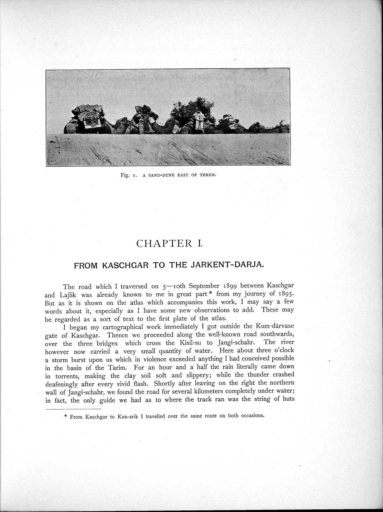 |
| テレム東方の砂丘A SAND-DUNE EAST OF TEREM. |
Fig. I. A SAND-DUNE EAST OF TEREM.
CHAPTER I.
FROM KASCHGAR TO THE JARKENT-DARJA.
The road which I traversed on 5—loth September 1899 between Kaschgar and Lajlik was already known to me in great part * from my journey of 1895. But as it is shown on the atlas which accompanies this work, I may say a few words about it, especially as I have some new observations to add. These may be regarded as a sort of text to the first plate of the atlas.
I began my cartographical work immediately I got outside the Kum-därvase gate of Kaschgar. Thence we proceeded along the well-known road southwards, over the three bridges which cross the Kisil-su to Jangi-schahr. The river however now carried a very small quantity of water. Here about three o'clock a storm burst upon us which in violence exceeded anything I had conceived possible in the basin of the Tarim. For an hour and a half the rain literally came down in torrents, making the clay soil soft and slippery; while the thunder crashed deafeningly after every vivid flash. Shortly after leaving on the right the northern wall of Jangi-schahr, we found the road for several kilometers completely under water; in fact, the only guide we had as to where the track ran was the string of huts
* From Kaschgar to Kan-arik I travelled over the same route on both occasions.
|
Copyright (C) 2003-2019
National Institute of Informatics(国立情報学研究所)
and
The Toyo Bunko(東洋文庫). All Rights Reserved.
本ウェブサイトに掲載するデジタル文化資源の無断転載は固くお断りいたします。