国立情報学研究所 - ディジタル・シルクロード・プロジェクト
| |||||||||
|
| Scientific Results of a Journey in Central Asia, 1899-1902 : vol.1 | |
| 1899-1902年の中央アジア旅行における科学的成果 : vol.1 |
 |
| クム・キュユルマ付近のチェルチェン・ダリヤの川幅の狭いところの断面図。VERTICAL SECTION OF A NARROW PART OF THE TSCHERTSCHEN-DARJA NEAR KUM-KÜJÜLMA. | |
| クム・キュユルマの川幅の広いところの断面図。VERTICAL SECTION OF A BROAD PORTION OF THE RIVER AT KUM-KÜJÜLMA. |
THE LOWER TSCHERTSCHEN-DARJA. 397
on both sides. On the right bank there is a little lake, formed by a side-arm of the river, and fed at the season of high flood, a circumstance that recalls the lower Jarkent-darja. Except for this the river is in many respects like the vacillating and undecided Chotan-darja. If through any change the masses of water were to abandon this bed, it would soon disappear entirely, leaving no perceptible channel behind it; and in any circumstance it would be hidden in the dense reeds. From this point downwards the river and its adjacent banks are known as Keng-lajka, or the Broad Mud Region, a very significant name, which might very well be translated by the simple word »Delta». The vast quantities of sediment which the river brings down with it in the season of high water are deposited here, and as time goes on form a flat triangular accumulation of mud, through which the river-arms often change their course and situation. Opposite to the three islands I have mentioned the river
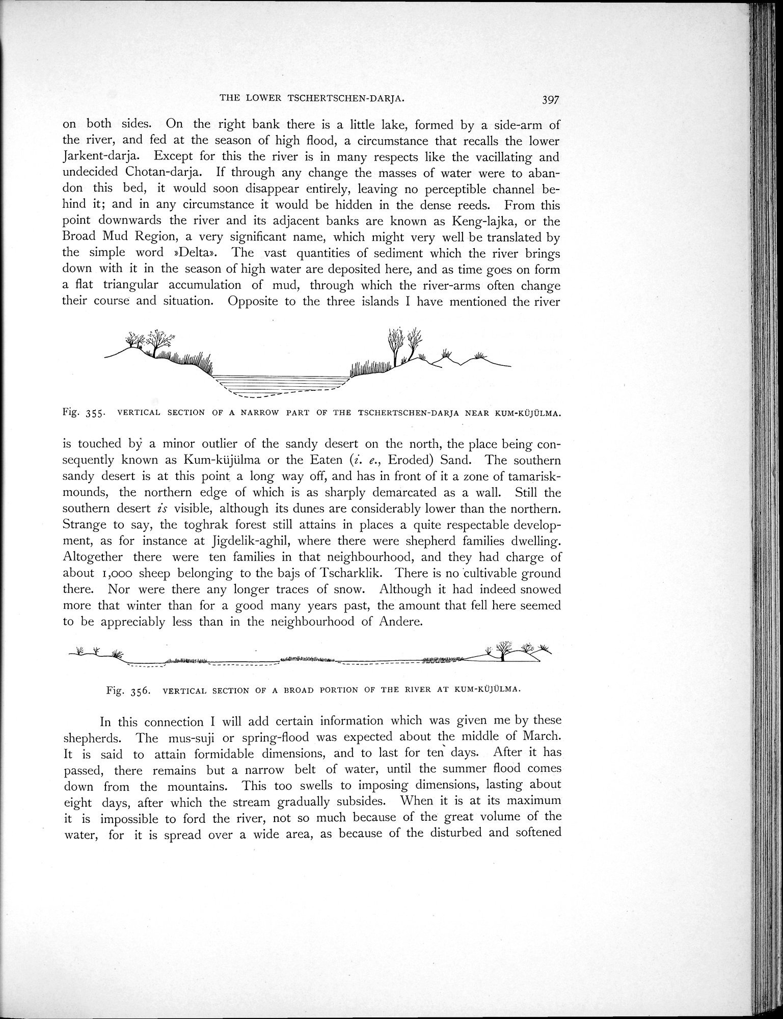
Fig. 355. VERTICAL SECTION OF A NARROW PART OF THE TSCHERTSCHEN-DARDA NEAR KUM-KÜJÜLMA.
is touched bÿ a minor outlier of the sandy desert on the north, the place being consequently known as Kum-küjülma or the Eaten (1. e., Eroded) Sand. The southern sandy desert is at this point a long way off, and has in front of it a zone of tamarisk-mounds, the northern edge of which is as sharply demarcated as a wall. Still the southern desert is visible, although its dunes are considerably lower than the northern. Strange to say, the toghrak forest still attains in places a quite respectable development, as for instance at Jigdelik-aghil, where there were shepherd families dwelling. Altogether there were ten families in that neighbourhood, and they had charge of about i,000 sheep belonging to the bajs of Tscharklik. There is no 'cultivable ground there. Nor were there any longer traces of snow. Although it had indeed snowed more that winter than for a good many years past, the amount that fell here seemed to be appreciably less than in the neighbourhood of Andere.
,mn,..rlehilwd,_ .és:orü+*ariiWw+ru.,.. 1134%)
__. i11111116.
Fig. 356. VERTICAI. SECTION OF A BROAD PORTION OF THE RIVER AT KUM-KÜJÜLMA.
In this connection I will add certain information which was given me by these shepherds. The mus-suji or spring-flood was expected about the middle of March. It is said to attain formidable dimensions, and to last for ten days. After it has passed, there remains but a narrow belt of water, until the summer flood comes down from the mountains. This too swells to imposing dimensions, lasting about eight days, after which the stream gradually subsides. When it is at its maximum it is impossible to ford the river, not so much because of the great volume of the water, for it is spread over a wide area, as because of the disturbed and softened
|
Copyright (C) 2003-2019
National Institute of Informatics(国立情報学研究所)
and
The Toyo Bunko(東洋文庫). All Rights Reserved.
本ウェブサイトに掲載するデジタル文化資源の無断転載は固くお断りいたします。