国立情報学研究所 - ディジタル・シルクロード・プロジェクト
| |||||||||
|
| Scientific Results of a Journey in Central Asia, 1899-1902 : vol.1 | |
| 1899-1902年の中央アジア旅行における科学的成果 : vol.1 |
 |
| トラン・ケミシのフェリー・ボート。FERRY-BOAT OF TOLAN-KEMISI. |
FROM TRIE CONFLUENCE OF THE AK-SU-DARJA TO INTSCHKÄ. 87
of three days. The tempests which come from the south are far less frequent, and much less violent. Such rain as there is, and it is quite insignificant, occurs in summer. The fall of snow is slight and varying: for instance, in 1898 there was no snow at all, whereas in the year preceding there was a fairly large quantity.
At Busuk we obtained the following measurements: breadth, 72.55 m.; mean depth, 1.354 m.; mean velocity, 0.7547 m.; and volume, 74.13 cub. m. in the second. On the last occasion that we measured it, the Jarkent-darja carried a volume of 14.96 cub. m., or only one-fifth of the volume at Busuk.
October 3 I St. Rise, 0.9 cm. in twelve hours. Thus the river continues to rise, as we were told it would. The transparency at 7 a. m. was 10.9 cm. and at I p. m. 11.5 cIn. At our camp the containing banks were 1.88 in. high, and the high-water level 1.48 m. above the existing level of the stream. At Busuk the containing banks were 2.75 m. high; though the altitude naturally varies with the inequalities of the ground, here, however, slight, and the high-water level is of course to a certain extent governed by the breadth of the river-bed.
When, as happened to-day, the wind blows strongly (from the east), the broad bosom of the river is crumpled into waves, their crests tipped with foam. These of course assist to erode the banks; or rather the beat of the waves exercises an abrasive effect, which soon becomes obliterated in the work of erosion that is continually going on. The broad, open face of the river lies fully exposed to the wind, for the woods on its banks are too far apart to offer any impediment to it.
On the right we passed the masar of Uj-baschi Busrugvar, and further on a small toghrak grove called Modsche-toghrak. Generally speaking, the banks are covered with thick beds of tall reeds, with tamarisk thickets dotting them like islands. The sandy belt of Kisil-kum is said to lie 18 km. to the north, and the big sandy desert of Takla-makan twice that distance to the south. At our camp the containing bank was 3.1 m. high, and the high-water level lay 1.96 1n. above the existing level.
November 1st. Rise, o.5 cm. Transparency, at 7 a. m. 12.9 cm. and at t p. m. 10.3 cm. The two arms into which the Tarim divides immediately below the
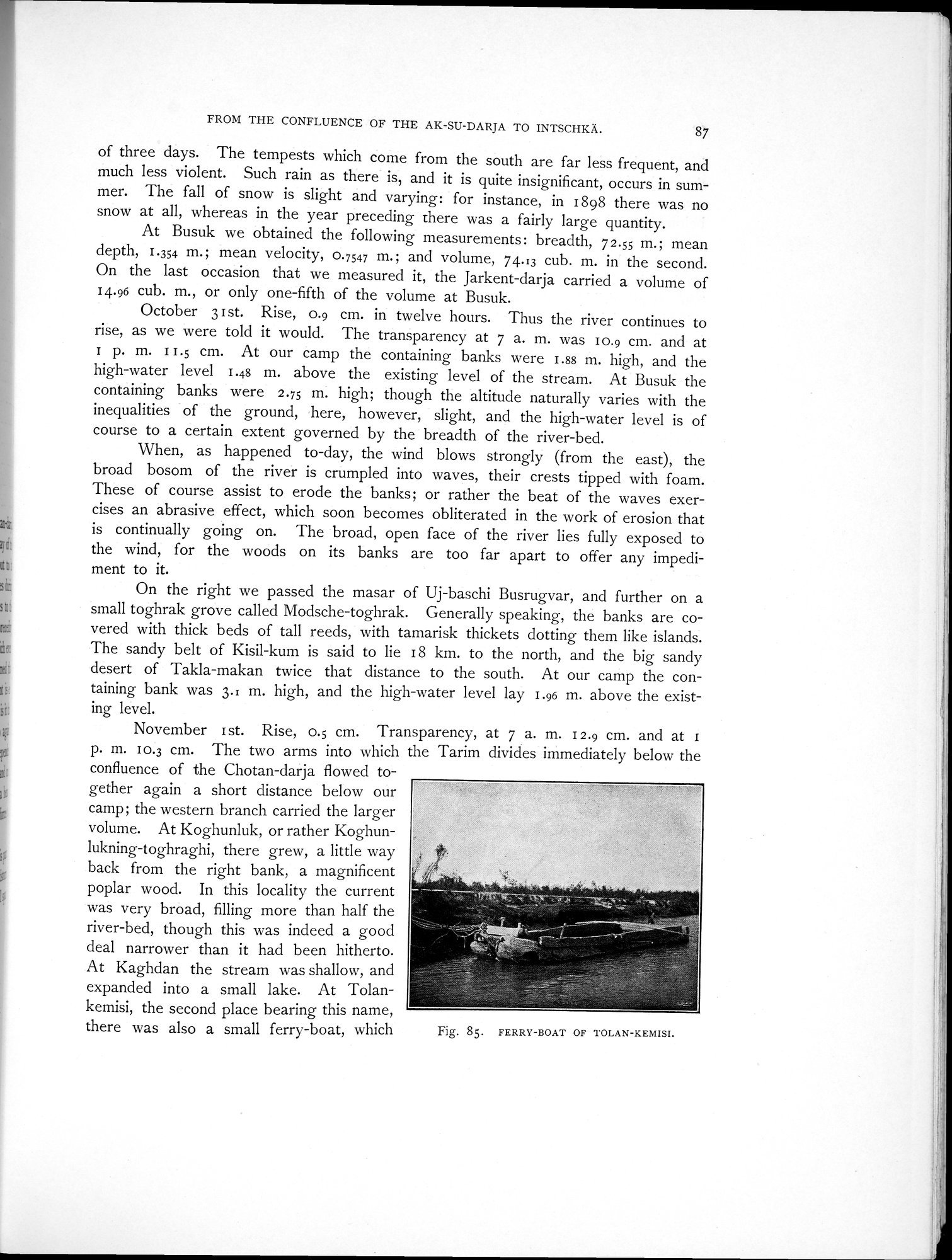
confluence of the Chotan-darja flowed together again a short distance below our camp; the western branch carried the larger volume. At Koghunluk, or rather Koghunlukning-toghraghi, there grew, a little way back from the right bank, a magnificent poplar wood. In this locality the current was very broad, filling more than half the river-bed, though this was indeed a good deal narrower than it had been hitherto. At Kao-hdan the stream was shallow, and
expanded into a small lake. At "Dolan-
kemisi, the second place bearing this name,
there was also a small ferry-boat, which
Fig. 85. FERRY-BOAT OF TOLAN-KEMISI.
|
Copyright (C) 2003-2019
National Institute of Informatics(国立情報学研究所)
and
The Toyo Bunko(東洋文庫). All Rights Reserved.
本ウェブサイトに掲載するデジタル文化資源の無断転載は固くお断りいたします。