国立情報学研究所 - ディジタル・シルクロード・プロジェクト
| |||||||||
|
| Scientific Results of a Journey in Central Asia, 1899-1902 : vol.1 | |
| 1899-1902年の中央アジア旅行における科学的成果 : vol.1 |
 |
| カラ・ムランの断面図。VERTICAL SECTION OF THE KARA-MURAN. |
374 THE TSCHERTSCHEN DESERT.
of Tschertschen had some connection with it. But the dunes have gradually encroached upon this former steppe and forest region; and considering the gradual diminution in the water-supply, it is easy to foresee, that what little now remains will eventually be overwhelmed by the sand. And as it is certain that the greater part of the immense quantities of sand which fill the Desert of Tschertschen and the Takla-makan emanate from the mountains that shut in East Turkestan on the north, so may it be assumed that the small strip of desert which lies south of the astin-jol owes its origin to the disintegration of the mountains which form the southern girdle of the region.
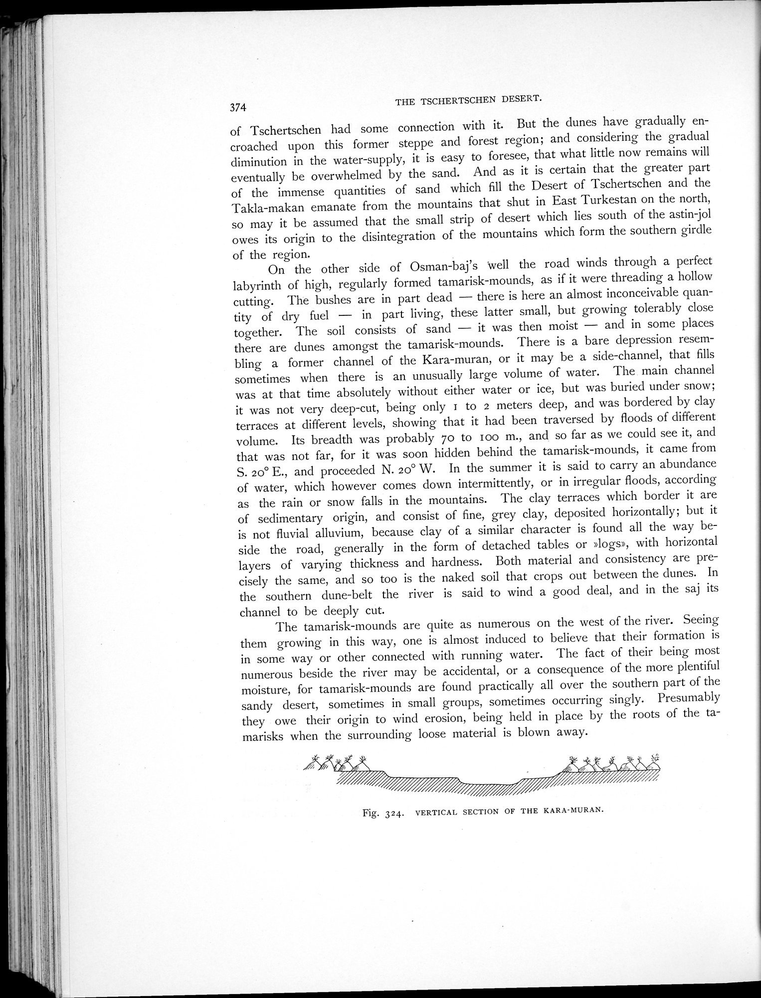
On the other side of Osman-baj's well the road winds through a perfect labyrinth of high, regularly formed tamarisk-mounds, as if it were threading a hollow cutting. The bushes are in part dead — there is here an almost inconceivable quantity of dry fuel — in part living, these latter small, but growing tolerably close together. The soil consists of sand — it was then moist — and in some places there are dunes amongst the tamarisk-mounds. There is a bare depression resembling a former channel of the Kara-muran, or it may be a side-channel, that fills sometimes when there is an unusually large volume of water. The main channel was at that time absolutely without either water or ice, but was buried under snow; it was not very deep-cut, being only z to 2 meters deep, and was bordered by clay terraces at different levels, showing that it had been traversed by floods of different volume. Its breadth was probably 70 to loo m., and so far as we could see it, and that was not far, for it was soon hidden behind the tamarisk-mounds, it came from S. 20° E., and proceeded N. 20° W. In the summer it is said to carry an abundance of water, which however comes down intermittently, or in irregular floods, according as the rain or snow falls in the mountains. The clay terraces which border it are of sedimentary origin, and consist of fine, grey clay, deposited horizontally; but it is not fluvial alluvium, because clay of a similar character is found all the way beside the road, generally in the form of detached tables or »logs», with horizontal layers of varying thickness and hardness. Both material and consistency are precisely the same, and so too is the naked soil that crops out between the dunes. In the southern dune-belt the river is said to wind a good deal, and in the saj its channel to be deeply cut.
The tamarisk-mounds are quite as numerous on the west of the river. Seeing them growing in this way, one is almost induced to believe that their formation is in some way or other connected with running water. The fact of their being most numerous beside the river may be accidental, or a consequence of the more plentiful moisture, for tamarisk-mounds are found practically all over the southern part of the sandy desert, sometimes in small groups, sometimes occurring singly. Presumably they owe their origin to wind erosion, being held in place by the roots of the tamarisks when the surrounding loose material is blown away.
Fig. 324. VERTICAL SECTION OF THE KARA-MURAN.
|
Copyright (C) 2003-2019
National Institute of Informatics(国立情報学研究所)
and
The Toyo Bunko(東洋文庫). All Rights Reserved.
本ウェブサイトに掲載するデジタル文化資源の無断転載は固くお断りいたします。