国立情報学研究所 - ディジタル・シルクロード・プロジェクト
| |||||||||
|
| Scientific Results of a Journey in Central Asia, 1899-1902 : vol.1 | |
| 1899-1902年の中央アジア旅行における科学的成果 : vol.1 |
 |
| 川の表面の傾斜。Inclination of the surface of a river |
196 THE TARIM RIVER.
shown in A Pl. 36. The arrows indicate in which directions the banks move in consequence of the lateral erosion of the stream; while the dotted outlines show the shore along which the sediment is deposited, whilst at the same time the opposite bank is made more and more concave. It is the concave portions of the banks which are eroded, and the convex portions against which their crumbling material is deposited. That these correlated results must ensue is a sheer physical necessity, and requires no explanation. Nevertheless, I will not withhold the results of the observations which I made with my own eyes in hundreds of the windings of this great and interesting river. The ground through which the Tarim flows is composed of very loose and very homogeneous materials, materials that not only crumble clown imperceptibly, but possess so little power of resistance as to exhibit with especial clearness and pregnancy the river's correlated energies, both the destructive (erosion) and the constructive (sedimentation), as the study of my map will abundantly illustrate. Possibly there is nothing new in my observations. The only claim I advance for them is that in their totality they furnish a contribution to the characteristics of the Tarim, and to that extent may possibly corroborate the investigations of more competent observers.
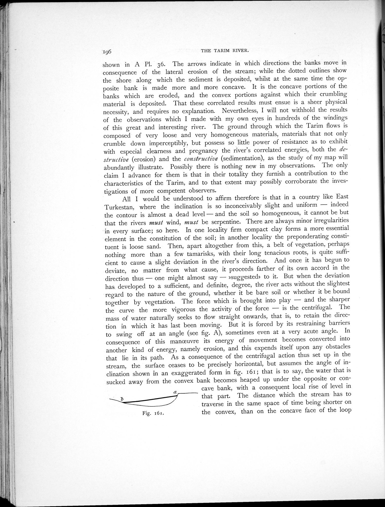
All I would be understood to affirm therefore is that in a country like East Turkestan, where the inclination is so inconceivably slight and uniform — indeed the contour is almost a dead level — and the soil so homogeneous, it cannot be but that the rivers must wind, must be serpentine. There are always minor irregularities in every surface; so here. In one locality firm compact clay forms a more essential element in the constitution of the soil; in another locality the preponderating constituent is loose sand. Then, apart altogether from this, a belt of vegetation, perhaps nothing more than a few tamarisks, with their long tenacious roots, is quite sufficient to cause a slight deviation in the river's direction. And once it has begun to deviate, no matter from what cause, it proceeds farther of its own accord in the direction thus — one might almost say — »suggested» to it. But when the deviation has developed to a sufficient, and definite, degree, the river acts without the slightest regard to the nature of the ground, whether it be bare soil or whether it be bound together by vegetation. The force which is brought into play — and the sharper the curve the more vigorous the activity of the force — is the centrifugal. The mass of water naturally seeks to flow straight onwards, that is, to retain the direction in which it has last been moving. But it is forced by its restraining barriers to swing off at an angle (see fig. A), sometimes even at a very acute angle. In consequence of this manoeuvre its energy of movement becomes converted into another kind of energy, namely erosion, and this expends itself upon any obstacles that lie in its path. As a consequence of the centrifugal action thus set up in the stream, the surface ceases to be precisely horizontal, but assumes the angle of inclination shown in an exaggerated form in fig. 161; that is to say, the water that is sucked away from the convex bank becomes heaped up under the opposite or con
cave bank, with a consequent local rise of level in that part. The distance which the stream has to traverse in the same space of time being shorter on the convex, than on the concave face of the loop
Fig. i61.
|
Copyright (C) 2003-2019
National Institute of Informatics(国立情報学研究所)
and
The Toyo Bunko(東洋文庫). All Rights Reserved.
本ウェブサイトに掲載するデジタル文化資源の無断転載は固くお断りいたします。