国立情報学研究所 - ディジタル・シルクロード・プロジェクト
| |||||||||
|
| Scientific Results of a Journey in Central Asia, 1899-1902 : vol.1 | |
| 1899-1902年の中央アジア旅行における科学的成果 : vol.1 |
 |
| 北の砂漠がチェルチェン・ダリヤの植生と接触する地点。POINT WHERE THE NORTHERN SAND COMES INTO CONTACT WITH VEGETATION OF THE TSCHERTSCHEN-DARJA. |
392 THE TSCHERTSCHEN DESERT.
river-ending, even if there had been one, because of the drift-sand which advances right down to the Tschertschen-darja. It is equally possible, that this old bed is continued farther north, through the desert itself, and so it may not rejoin the mother-stream before reaching the Ettek-tarim. This is even more likely when we call to mind that the Kara-buran and Kara-koschun are recent creations, and that in the time of the old Lop-nor the Tschertschen-darja probably discharged into it, unless indeed it possessed its own discharge lake situated where the Kara-buran or Karakoschun now are. This problem, of no great intrinsic importance in itself, could be solved by crossing the desert from Basch-arghan to the lower Keng-lajka.
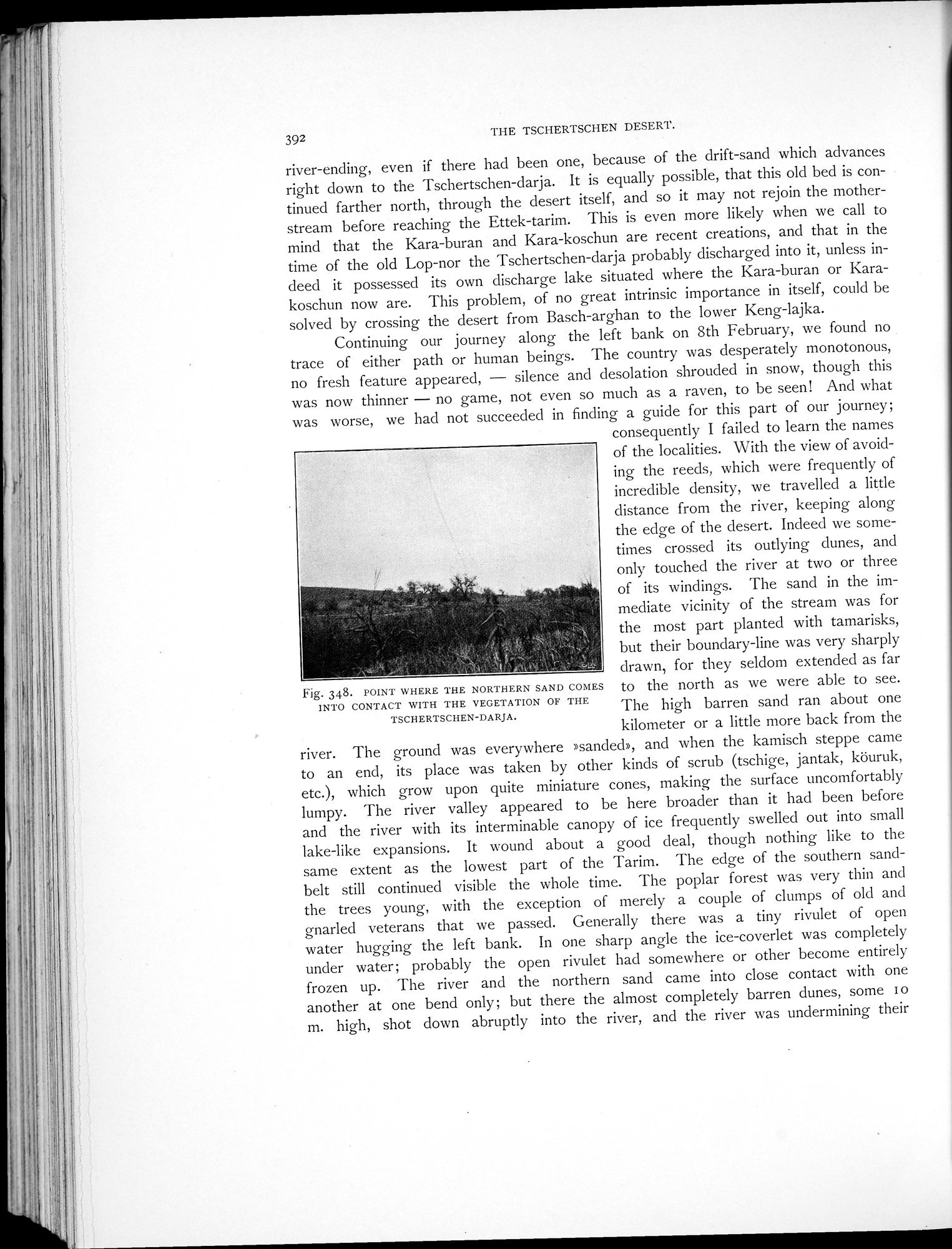
Continuing our journey along the left bank on 8th February, we found no trace of either path or human beings. The country was desperately monotonous, no fresh feature appeared, — silence and desolation shrouded in snow, though this was now thinner — no game, not even so much as a raven, to be seen! And what was worse, we had not succeeded in finding a guide for this part of our journey;
consequently I failed to learn the names of the localities. With the view of avoiding the reeds, which were frequently of incredible density, we travelled a little distance from the river, keeping along the edge of the desert. Indeed we sometimes crossed its outlying dunes, and only touched the river at two or three of its windings. The sand in the immediate vicinity of the stream was for the most part planted with tamarisks, but their boundary-line was very sharply drawn, for they seldom extended as far
Fig. 34.8. POINT WHERE THE NORTHERN SAND COMES to the north as we were able to see.
INTO CONTACT WITH THE VEGETATION OF THE
TSCHERTSCHEN-DARJA. The high barren sand ran about one
kilometer or a little more back from the river. The ground was everywhere »sanded», and when the kamisch steppe came to an end, its place was taken by other kinds of scrub (tschige, jantak, köuruk, etc.), which grow upon quite miniature cones, making the surface uncomfortably lumpy. The river valley appeared to be here broader than it had been before and the river with its interminable canopy of ice frequently swelled out into small lake-like expansions. It wound about a good deal, though nothing like to the same extent as the lowest part of the Tarim. The edge of the southern sand-belt still continued visible the whole time. The poplar forest was very thin and the trees young, with the exception of merely a couple of clumps of old and gnarled veterans that we passed. Generally there was a tiny rivulet of open water hugging the left bank. In one sharp angle the ice-coverlet was completely under water; probably the open rivulet had somewhere or other become entirely frozen up. The river and the northern sand came into close contact with one another at one bend only; but there the almost completely barren dunes, some i o m. high, shot down abruptly into the river, and the river was undermining their
|
Copyright (C) 2003-2019
National Institute of Informatics(国立情報学研究所)
and
The Toyo Bunko(東洋文庫). All Rights Reserved.
本ウェブサイトに掲載するデジタル文化資源の無断転載は固くお断りいたします。