国立情報学研究所 - ディジタル・シルクロード・プロジェクト
| |||||||||
|
| Scientific Results of a Journey in Central Asia, 1899-1902 : vol.1 | |
| 1899-1902年の中央アジア旅行における科学的成果 : vol.1 |
 |
| 川の氷の上に吹き飛ばされた砂。SAND BLOWN DOWN UPON THE ICE OF THE RIVER. |
150 THE TARIM RIVER.
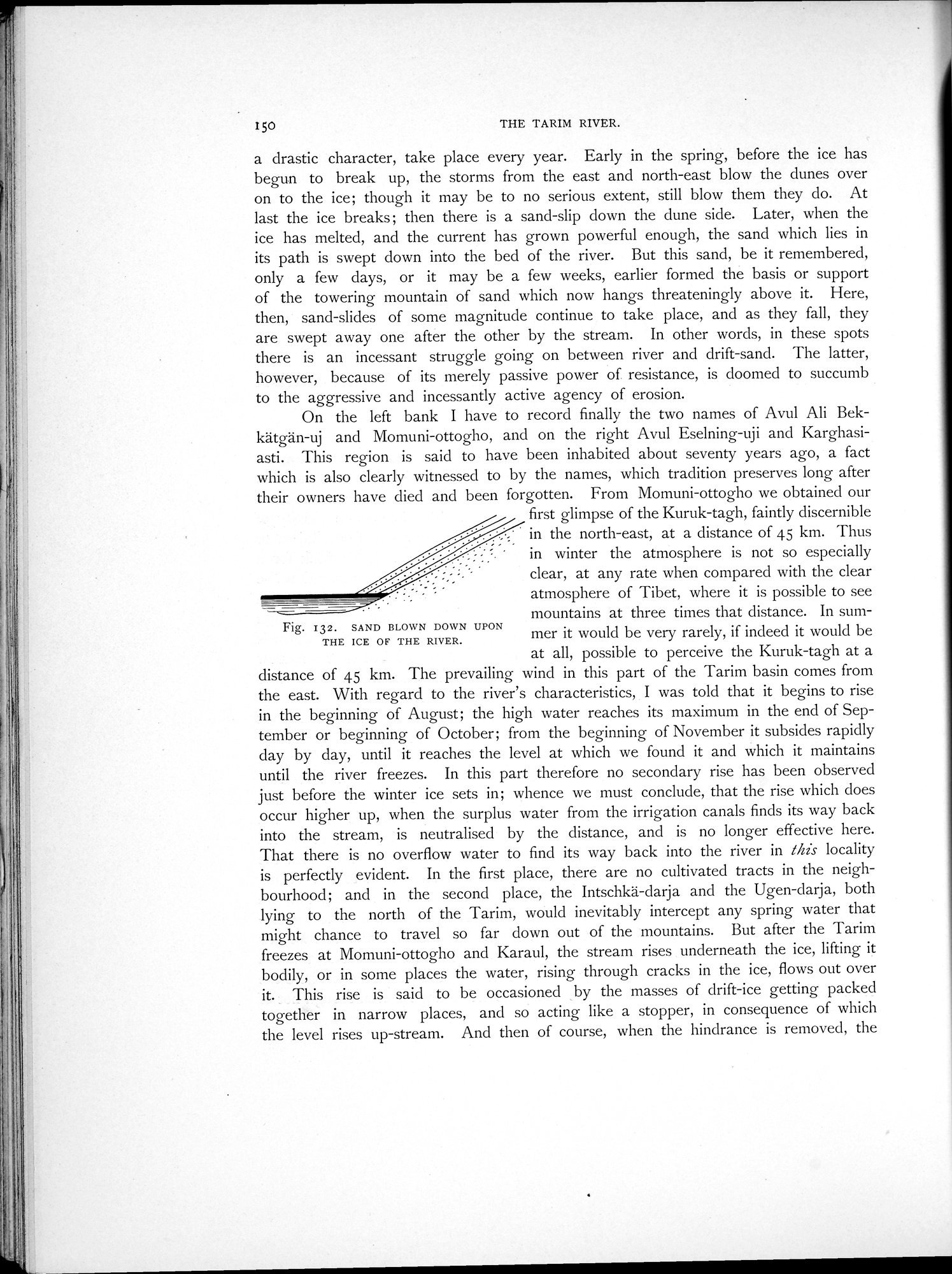
a drastic character, take place every year. Early in the spring, before the ice has begun to break up, the storms from the east and north-east blow the dunes over on to the ice; though it may be to no serious extent, still blow them they do. At last the ice breaks; then there is a sand-slip down the dune side. Later, when the ice has melted, and the current has grown powerful enough, the sand which lies in its path is swept down into the bed of the river. But this sand, be it remembered, only a few days, or it may be a few weeks, earlier formed the basis or support of the towering mountain of sand which now hangs threateningly above it. Here, then, sand-slides of some magnitude continue to take place, and as they fall, they are swept away one after the other by the stream. In other words, in these spots there is an incessant struggle going on between river and drift-sand. The latter, however, because of its merely passive power of resistance, is doomed to succumb to the aggressive and incessantly active agency of erosion.
On the left bank I have to record finally the two names of Avul Ali Bekkätgän-uj and Momuni-ottogho, and on the right Avul Eselning-uji and Karghasiasti. This region is said to have been inhabited about seventy years ago, a fact which is also clearly witnessed to by the names, which tradition preserves long after their owners have died and been forgotten. From Momuni-ottogho we obtained our
first glimpse of the Kuruk-tagh, faintly discernible in the north-east, at a distance of 45 km. Thus in winter the atmosphere is not so especially clear, at any rate when compared with the clear atmosphere of Tibet, where it is possible to see mountains at three times that distance. In summer it would be very rarely, if indeed it would be at all, possible to perceive the Kuruk-tagh at a
distance of 45 km. The prevailing wind in this part of the Tarim basin comes from the east. With regard to the river's characteristics, I was told that it begins to rise in the beginning of August; the high water reaches its maximum in the end of September or beginning of October; from the beginning of November it subsides rapidly day by day, until it reaches the level at which we found it and which it maintains until the river freezes. In this part therefore no secondary rise has been observed just before the winter ice sets in; whence we must conclude, that the rise which does occur higher up, when the surplus water from the irrigation canals finds its way back into the stream, is neutralised by the distance, and is no longer effective here. That there is no overflow water to find its way back into the river in this locality is perfectly evident. In the first place, there are no cultivated tracts in the neighbourhood; and in the second place, the Intschkä-darja and the Ugen-darja, both lying to the north of the Tarim, would inevitably intercept any spring water that might chance to travel so far down out of the mountains. But after the Tarim freezes at Momuni-ottogho and Karaul, the stream rises underneath the ice, lifting it bodily, or in some places the water, rising through cracks in the ice, flows out over it. This rise is said to be occasioned by the masses of drift-ice getting packed together in narrow places, and so acting like a stopper, in consequence of which the level rises up-stream. And then of course, when the hindrance is removed, the
Fig. 132. SAND BLOWN DOWN UPON
THE ICE OF THE RIVER.
|
Copyright (C) 2003-2019
National Institute of Informatics(国立情報学研究所)
and
The Toyo Bunko(東洋文庫). All Rights Reserved.
本ウェブサイトに掲載するデジタル文化資源の無断転載は固くお断りいたします。