国立情報学研究所 - ディジタル・シルクロード・プロジェクト
| |||||||||
|
| Scientific Results of a Journey in Central Asia, 1899-1902 : vol.1 | |
| 1899-1902年の中央アジア旅行における科学的成果 : vol.1 |
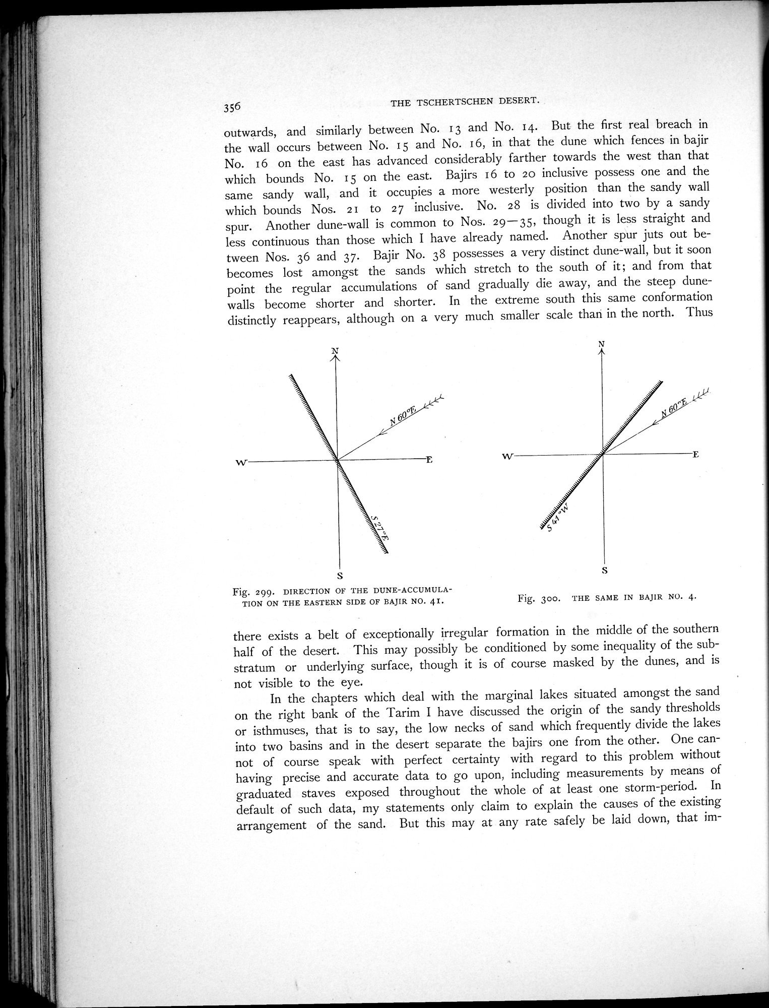 |
| 第41砂丘湖の東側にある堆積砂丘の方角。DIRECTION OF THE DUNE-ACCUMULATION ON THE EASTERN SIDE OF BAJIR NO. 41. | |
| 第4砂丘湖における同図。THE SAME IN BAJIR NO. 4. |
356 THE TSCHERTSCHEN DESERT.
outwards, and similarly between No. i 3 and No. i 4. But the first real breach in the wall occurs between No. i 5 and No. i 6, in that the dune which fences in bajir No. i 6 on the east has advanced considerably farther towards the west than that which bounds No. 15 on the east. Bajirs 16 to 20 inclusive possess one and the same sandy wall, and it occupies a more westerly position than the sandy wall which bounds Nos. 21 to 27 inclusive. No. 28 is divided into two by a sandy spur. Another dune-wall is common to Nos. 29-35, though it is less straight and less continuous than those which I have already named. Another spur juts out between Nos. 36 and 37. Bajir No. 38 possesses a very distinct dune-wall, but it soon becomes lost amongst the sands which stretch to the south of it ; and from that point the regular accumulations of sand gradually die away, and the steep dune-walls become shorter and shorter. In the extreme south this same conformation distinctly reappears, although on a very much smaller scale than in the north. Thus
s
Fig. 299. DIRECTION OF THE DUNE-ACCUMULATION ON THE EASTERN SIDE OF BAJIR NO. 41.
Fig. 300. THE SAME IN BAJIR NO. 4.
there exists a belt of exceptionally irregular formation in the middle of the southern half of the desert. This may possibly be conditioned by some inequality of the substratum or underlying surface, though it is of course masked by the dunes, and is not visible to the eye.
In the chapters which deal with the marginal lakes situated amongst the sand on the right bank of the Tarim I have discussed the origin of the sandy thresholds or isthmuses, that is to say, the low necks of sand which frequently divide the lakes into two basins and in the desert separate the bajirs one from the other. One cannot of course speak with perfect certainty with regard to this problem without having precise and accurate data to go upon, including measurements by means of graduated staves exposed throughout the whole of at least one storm-period. In default of such data, my statements only claim to explain the causes of the existing arrangement of the sand. But this may at any rate safely be laid down, that im-
|
Copyright (C) 2003-2019
National Institute of Informatics(国立情報学研究所)
and
The Toyo Bunko(東洋文庫). All Rights Reserved.
本ウェブサイトに掲載するデジタル文化資源の無断転載は固くお断りいたします。