国立情報学研究所 - ディジタル・シルクロード・プロジェクト
| |||||||||
|
| Scientific Results of a Journey in Central Asia, 1899-1902 : vol.1 | |
| 1899-1902年の中央アジア旅行における科学的成果 : vol.1 |
 |
| メルデク・シャール砂漠を渡ってサダク・クルへ蛇行しているヤンギ・タリム川。THE JANGI-TARIM WINDING THROUGH THE DESERT MÄRDÄK-SCHAHR TO SADAK-KÖL. | |
| メルデク湖に注いでいる支流。4月23日。The branch feeding the Märdäk-lakes; April 23d. |
468 THE TARIM DELTA.
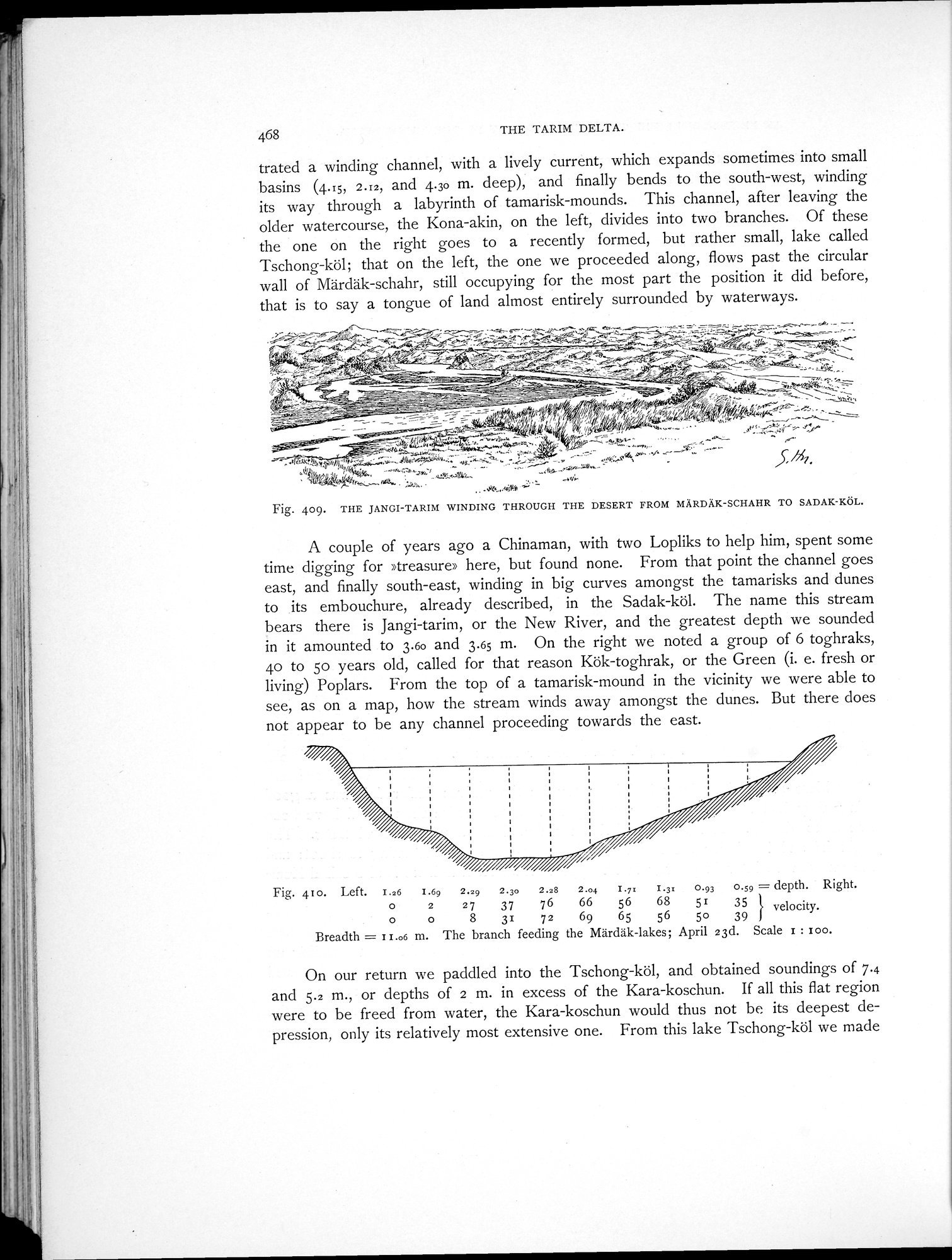
trated a winding channel, with a lively current, which expands sometimes into small basins (4.15i 2.12, and 4.30 m. deep), and finally bends to the south-west, winding its way through a labyrinth of tamarisk-mounds. This channel, after leaving the older watercourse, the Kona-akin, on the left, divides into two branches. Of these the one on the right goes to a recently formed, but rather small, lake called Tschong-köl; that on the left, the one we proceeded along, flows past the circular wall of Märdäk-schahr, still occupying for the most part the position it did before, that is to say a tongue of land almost entirely surrounded by waterways.
, ,-~.~f~
_1. "J- s --;•-w5'"-"13!;;.'''''..---=
- X
V~kM~~y .
.•~~— ^ - - v -~ 1.~...
Y ^.r~ ...I.:..
....../.77-
... ~•~—
..`
^~KVO~ .~..w.fiC,sß~, ~i '
A' "/h yf/. ' •w...seC..y.a;;7a:^at,4.` u5,•. 1:.`.-. t Low- rl/.^'._Sä~...^,.e:.A'''y.../• .0 S
4
.
rk.,..._.-- na. aw. ,, ...06....4:04 • s''---.4.*
Fig. 409. THE JANGI-TARIM WINDING THROUGH THE DESERT FROM MÄRDÄK-SCHAHR TO SADAK-KÖL.
A couple of years ago a Chinaman, with two Lopliks to help him, spent some time digging for »treasure» here, but found none. From that point the channel goes east, and finally south-east, winding in big curves amongst the tamarisks and dunes to its embouchure, already described, in the Sadak-köl. The name this stream bears there is Jangi-tarim, or the New River, and the greatest depth we sounded in it amounted to 3.60 and 3.65 m. On the right we noted a group of 6 toghraks, 4o to 5o years old, called for that reason Kök-toghrak, or the Green (i. e. fresh or living) Poplars. From the top of a tamarisk-mound in the vicinity we were able to see, as on a map, how the stream winds away amongst the dunes. But there does not appear to be any channel proceeding towards the east.
Fig. 410. Left. I.26 I.69 2.29 2.3o 2.28 2.04 I.y: I.3: 0.93 0.59 = depth. Right.
0 2 27 37 76 66 56 68 51 35 velocity. o o 8 31 72 69 65 56 50 39
Breadth = I I.o6 m. The branch feeding the Märdäk-lakes; April 23d. Scale I : zoo.
On our return we paddled into the Tschong-köl, and obtained soundings of 7.4 and 5.2 m., or depths of 2 m. in excess of the Kara-koschun. If all this flat region were to be freed from water, the Kara-koschun would thus not be its deepest depression, only its relatively most extensive one. From this lake Tschong-köl we made
~.rvv..,af,..~a+.-...,y~~,..ct—w,lv~ m....-e-----•...,,~~'~-.~_c -~,•.oc ,r--_w•._ _.
;G
_ t f~ ~ ~~ ~ , ~~ G'~~__... ✓ÿ~ _ `
. . //~~,~!/j%l
~c9 _
fL4GT~i~Î' ~-4V1........ •
'q"~;.■"'~
h
?+.s
|
Copyright (C) 2003-2019
National Institute of Informatics(国立情報学研究所)
and
The Toyo Bunko(東洋文庫). All Rights Reserved.
本ウェブサイトに掲載するデジタル文化資源の無断転載は固くお断りいたします。