国立情報学研究所 - ディジタル・シルクロード・プロジェクト
| |||||||||
|
| Scientific Results of a Journey in Central Asia, 1899-1902 : vol.1 | |
| 1899-1902年の中央アジア旅行における科学的成果 : vol.1 |
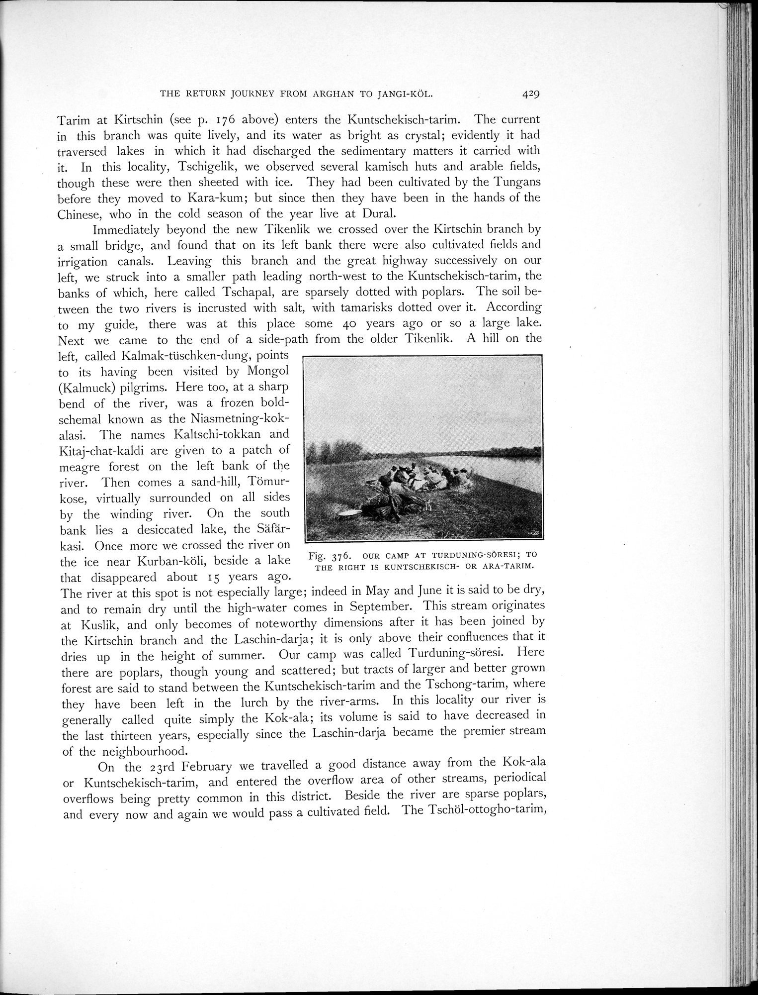 |
| トゥルドゥニン・スレシにおける我々のキャンプ地。右手はクンチェキシュ・タリム川またはアラ・タリム川。OUR CAMP AT TURDUNING-SÖRESI; TO THE RIGHT IS KUNTSCHEKISCH- OR ARA-TARIM. |
THE RETURN JOURNEY FROM ARGHAN TO JANGI-KÖL. 429
Tarim at Kirtschin (see p. 176 above) enters the Kuntschekisch-tarim. The current in this branch was quite lively, and its water as bright as crystal; evidently it had traversed lakes in which it had discharged the sedimentary matters it carried with
. it. In this locality, Tschigelik, we observed several kamisch huts and arable fields, though these were then sheeted with ice. They had been cultivated by the Tungans before they moved to Kara-kum; but since then they have been in the hands of the Chinese, who in the cold season of the year live at Dural.
Immediately beyond the new Tikenlik we crossed over the Kirtschin branch by a small bridge, and found that on its left bank there were also cultivated fields and irrigation canals. Leaving this branch and the great highway successively on our left, we struck into a smaller path leading north-west to the Kuntschekisch-tarim, the banks of which, here called Tschapal, are sparsely dotted with poplars. The soil between the two rivers is incrusted with salt, with tamarisks dotted over it. According to my guide, there was at this place some 4o years ago or so a large lake. Next we came to the end of a side-path from the older Tikenlik. A hill on the
left, called Kalmak-tüschken-dung, points to its having been visited by Mongol (Kalmuck) pilgrims. Here too, at a sharp bend of the river, was a frozen boldschemal known as the Niasmetning-kok-
alasi. The names Kaltschi-tokkan and Kitaj-chat-kaldi are given to a patch of
meagre forest on the left bank of the river. Then comes a sand-hill, Tömurkose, virtually surrounded on all sides by the winding river. On the south bank lies a desiccated lake, the Säfär-
kasi. Once more we crossed the river on
the ice near Kurban-köli, beside a lake Fig. 376. OUR CAMP AT TURDUNING•SORESI; TO
THE RIGHT IS KUNTSCHEKISCH- OR ARA-TARIM.
that disappeared about 15 years ago.
The river at this spot is not especially large ; indeed in May and June it is said to be dry, and to remain dry until the high-water comes in September. This stream originates at Kuslik, and only becomes of noteworthy dimensions after it has been joined by the Kirtschin branch and the Laschin-darja; it is only above their confluences that it dries up in the height of summer. Our camp was called Turduning-söresi. Here there are poplars, though young and scattered; but tracts of larger and better grown forest are said to stand between the Kuntschekisch-tarim and the Tschong-tarim, where they have been left in the lurch by the river-arms. In this locality our river is generally called quite simply the Kok-ala; its volume is said to have decreased in the last thirteen years, especially since the Laschin-darja became the premier stream of the neighbourhood.
On the 23rd February we travelled a good distance away from the Kok-ala or Kuntschekisch-tarim, and entered the overflow area of other streams, periodical overflows being pretty common in this district. Beside the river are sparse poplars, and every now and again we would pass a cultivated field. The Tschöl-ottogho-tarim,
|
Copyright (C) 2003-2019
National Institute of Informatics(国立情報学研究所)
and
The Toyo Bunko(東洋文庫). All Rights Reserved.
本ウェブサイトに掲載するデジタル文化資源の無断転載は固くお断りいたします。