国立情報学研究所 - ディジタル・シルクロード・プロジェクト
| |||||||||
|
| Scientific Results of a Journey in Central Asia, 1899-1902 : vol.1 | |
| 1899-1902年の中央アジア旅行における科学的成果 : vol.1 |
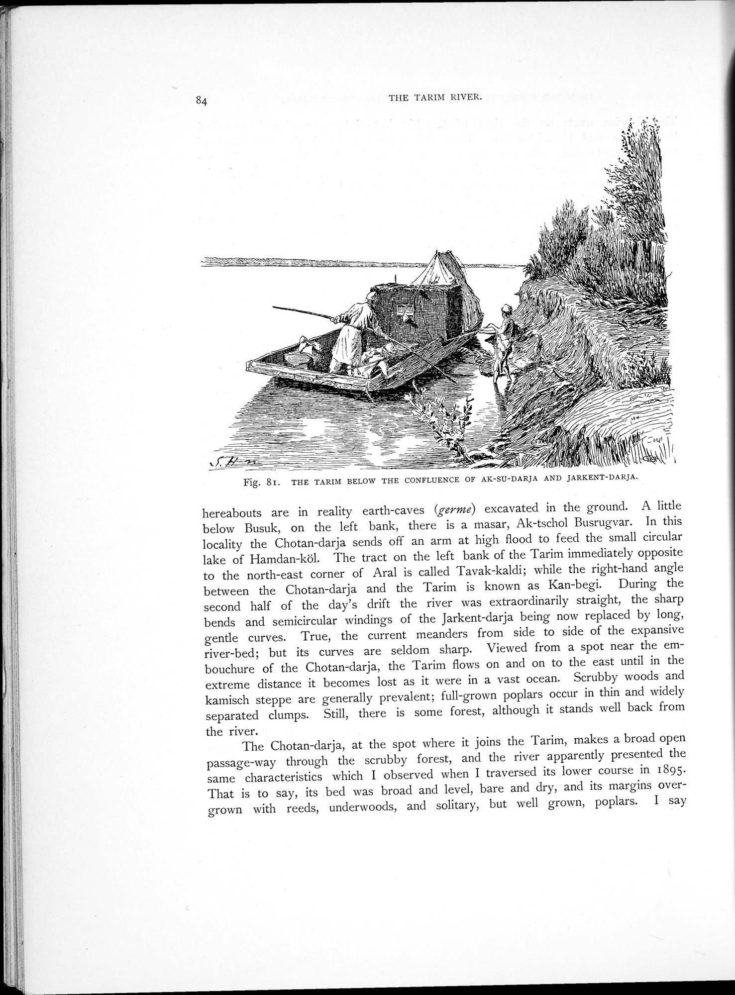 |
| アクス・ダリヤとヤルカンド・ダリヤの合流点より下流のタリム川。THE TARIM BELOW THE CONFLUENCE OF AK-SU-DARJA AND JARKENT-DARJA. |
84 THE TARIM RIVER.
Fig. $I. THE TARIM BELOW THE CONFLUENCE OF AK-SU-DARJA AND JARKENT-DARJA.
hereabouts are in reality earth-caves (germe) excavated in the ground. A little below Busuk, on the left bank, there is a masar, Ak-tschol Busrugvar. In this locality the Chotan-darja sends off an arm at high flood to feed the small circular lake of Hamdan-köl. The tract on the left bank of the Tarim immediately opposite to the north-east corner of Aral is called Tavak-kaldi; while the right-hand angle between the Chotan-darja and the Tarim is known as Kan-begi. During the second half of the day's drift the river was extraordinarily straight, the sharp bends and semicircular windings of the Jarkent-darja being now replaced by long, gentle curves. True, the current meanders from side to side of the expansive river-bed; but its curves are seldom sharp. Viewed from a spot near the embouchure of the Chotan-darja, the Tarim flows on and on to the east until in the extreme distance it becomes lost as it were in a vast ocean. Scrubby woods and kamisch steppe are generally prevalent; full-grown poplars occur in thin and widely separated clumps. Still, there is some forest, although it stands well back from
the river.
The Chotan-darja, at the spot where it joins the Tarim, makes a broad open passage-way through the scrubby forest, and the river apparently presented the same characteristics which I observed when I traversed its lower course in 1895. That is to say, its bed was broad and level, bare and dry, and its margins overgrown with reeds, underwoods, and solitary, but well grown, poplars. I say
|
Copyright (C) 2003-2019
National Institute of Informatics(国立情報学研究所)
and
The Toyo Bunko(東洋文庫). All Rights Reserved.
本ウェブサイトに掲載するデジタル文化資源の無断転載は固くお断りいたします。