国立情報学研究所 - ディジタル・シルクロード・プロジェクト
| |||||||||
|
| Scientific Results of a Journey in Central Asia, 1899-1902 : vol.1 | |
| 1899-1902年の中央アジア旅行における科学的成果 : vol.1 |
 |
| 梁の断片。FRAGMENT OF A BEAM. | |
| クルチ・アギルにおけるアンデレ・テレムの断面図。VERTICAL SECTION OF ANDRE-TEREM AT KÜRTSCH-AGIL. |
378 THE TSCHERTSCHEN DESERT.
Close by we picked up fragments of black and red pottery.
(! Looking from the top of the tower towards the south-west,
,~ J we descried an almost sterile country, except ~ rY that an occasional P
tamarisk showed itself amongst the low dunes. Northwards the Fig. 328. FRAGMENT OF vegetation gradually died away as it approached the barren
A BEAM. sand, but we were unable to see the lofty dunes. Andere-terem
is said to be already encircled by high barren sand on the west, north, and east — kisil-kum the shepherds call it. In the S. 42° E. there appeared two other gumbes. The only »find» I made in the course of a superficial investigation was a door-lintel.*
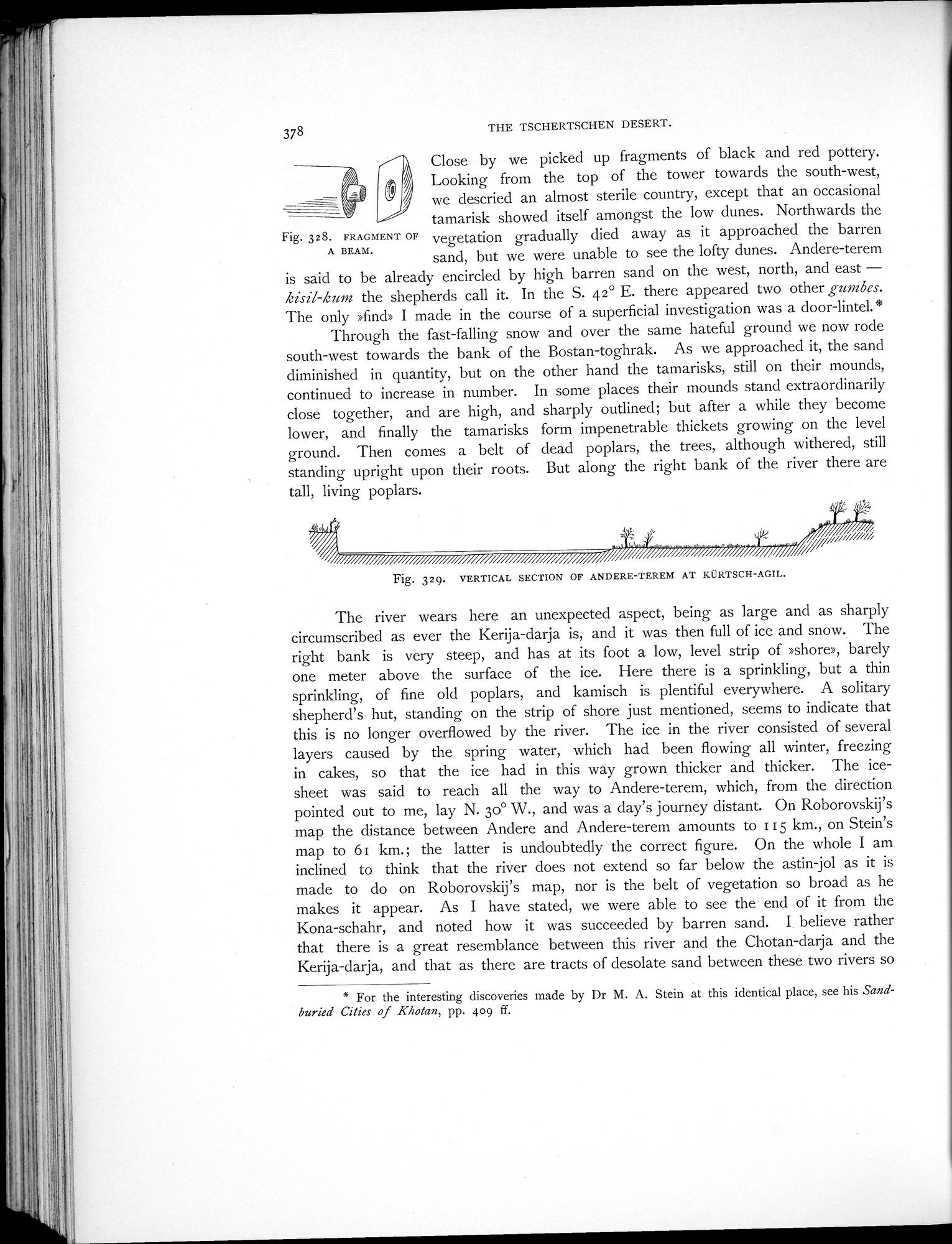
Through the fast-falling snow and over the same hateful ground we now rode south-west towards the bank of the Bostan-toghrak. As we approached it, the sand diminished in quantity, but on the other hand the tamarisks, still on their mounds, continued to increase in number. In some places their mounds stand extraordinarily close together, and are high, and sharply outlined; but after a while they become lower, and finally the tamarisks form impenetrable thickets growing on the level ground. Then comes a belt of dead poplars, the trees, although withered, still standing upright upon their roots. But along the right bank of the river there are tall, living poplars.
Fig. 329. VERTICAL SECTION OF ANDERE-TEREM AT KÜRTSCH-AGIL.
The river wears here an unexpected aspect, being as large and as sharply circumscribed as ever the Kerija-darja is, and it was then full of ice and snow. The right bank is very steep, and has at its foot a low, level strip of »shore», barely one meter above the surface of the ice. Here there is a sprinkling, but a thin sprinkling, of fine old poplars, and kamisch is plentiful everywhere. A solitary shepherd's hut, standing on the strip of shore just mentioned, seems to indicate that this is no longer overflowed by the river. The ice in the river consisted of several layers caused by the spring water, which had been flowing all winter, freezing in cakes, so that the ice had in this way grown thicker and thicker. The ice-sheet was said to reach all the way to Andere-terem, which, from the direction pointed out to me, lay N. 3o° W., and was a day's journey distant. On Roborovskij's map the distance between Andere and Andere-terem amounts to 115 km., on Stein's map to 6i km.; the latter is undoubtedly the correct figure. On the whole I am inclined to think that the river does not extend so far below the astin-jol as it is made to do on Roborovskij's map, nor is the belt of vegetation so broad as he makes it appear. As I have stated, we were able to see the end of it from the Kona-schahr, and noted how it was succeeded by barren sand. I. believe rather that there is a great resemblance between this river and the Chotan-darja and the Kerija-darja, and that as there are tracts of desolate sand between these two rivers so
* For the interesting discoveries made by Dr M. A. Stein at this identical place, see his Sand-buried Cities of Khotan, pp. 409 ff.
|
Copyright (C) 2003-2019
National Institute of Informatics(国立情報学研究所)
and
The Toyo Bunko(東洋文庫). All Rights Reserved.
本ウェブサイトに掲載するデジタル文化資源の無断転載は固くお断りいたします。