320 ACROSS THE TO-LAI-SHAN CH.',XXVIII
on a strip of green sward below it, and all troubles of the day were ended.
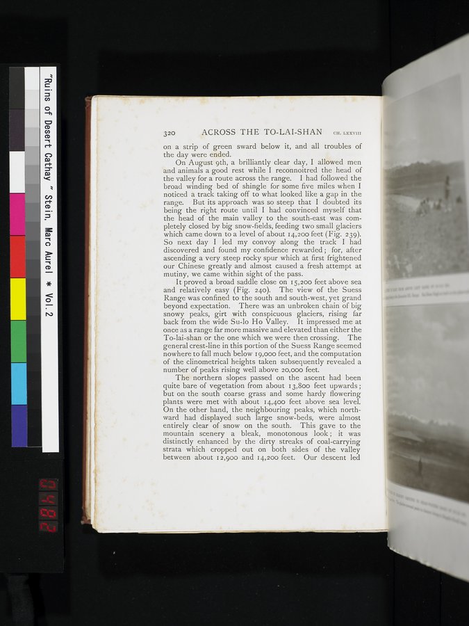
On August 9th, a brilliantly clear day, I allowed men and animals a good rest while I reconnoitred the head of the valley for a route across the range. I had followed the broad winding bed of shingle for some five miles when I noticed a track taking off to what looked like a gap in the range. But its approach was so steep that I doubted its being the right route until I had convinced myself that the head of the main valley to the south-east was completely closed by big snow-fields, feeding two small glaciers which came down to a level of about 14,200 feet (Fig. 239). So next day I led my convoy along the track I had discovered and found my confidence rewarded ; for, after ascending a very steep rocky spur which at first frightened our Chinese greatly and almost caused a fresh attempt at mutiny, we came within sight of the pass.
It proved a broad saddle close on 15,200 feet above sea and relatively easy (Fig. 240). The view of the Suess Range was confined to the south and south-west, yet grand beyond expectation. There was an unbroken chain of big snowy peaks, girt with conspicuous glaciers, rising far back from the wide Su-lo Ho Valley. It impressed me at once as a range far more massive and elevated than either the To-lai-shan or the one which we were then crossing. The general crest-line in this portion of the Suess Range seemed nowhere to fall much below 19,000 feet, and the computation of the clinometrical heights taken subsequently revealed a number of peaks rising well above 20,000 feet.
The northern slopes passed on the ascent had been quite bare of vegetation from about 13,800 feet upwards ; but on the south coarse grass and some hardy flowering plants were met with about 14,400 feet above sea level. On the other hand, the neighbouring peaks, which northward had displayed such large snow-beds, were almost entirely clear of snow on the south. This gave to the mountain scenery a bleak, monotonous look ; it was distinctly enhanced by the dirty streaks of coal-carrying strata which cropped out on both sides of the valley between about 12,900 and 14,200 feet. Our descent led
 IIIF Color HighRes