National Institute of Informatics - Digital Silk Road Project
| |||||||||
|
| Ruins of Desert Cathay : vol.2 |
 |
CHAPTER LXXIX
FROM THE SU-LO HO SOURCES TO KAN-CHOU
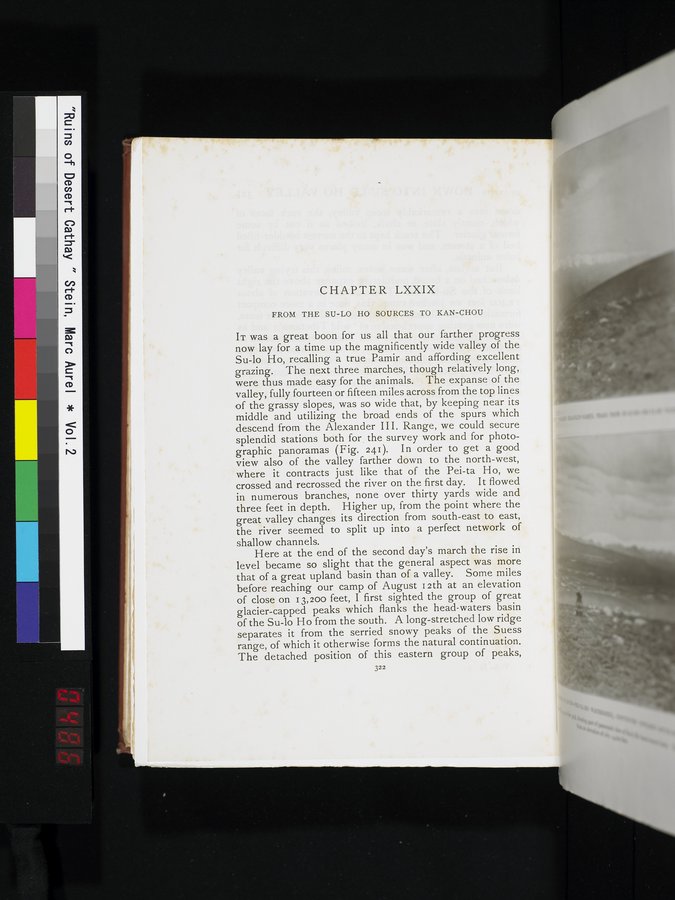
IT was a great boon for us all that our farther progress now lay for a time up the magnificently wide valley of the Su-lo Ho, recalling a true Pamir and affording excellent grazing. The next three marches, though relatively long, were thus made easy for the animals. The expanse of the valley, fully fourteen or fifteen miles across from the top lines of the grassy slopes, was so wide that, by keeping near its middle and utilizing the broad ends of the spurs which descend from the Alexander III. Range, we could secure splendid stations both for the survey work and for photographic panoramas (Fig. 241). In order to get a good view also of the valley farther down to the north-west, where it contracts just like that of the Pei-ta Ho, we crossed and recrossed the river on the first day. It flowed in numerous branches, none over thirty yards wide and three feet in depth. Higher up, from the point where the great valley changes its direction from south-east to east, the river seemed to split up into a perfect network of shallow channels.
Here at the end of the second day's march the rise in level became so slight that the general aspect was more that of a great upland basin than of a valley. Some miles before reaching our camp of August i 2th at an elevation of close on 13,200 feet, I first sighted the group of great glacier-capped peaks which flanks the head-waters basin of the Su-lo Ho from the south. A long-stretched low ridge separates it from the serried snowy peaks of the Suess range, of which it otherwise forms the natural continuation. The detached position of this eastern group of peaks,
322
|
Copyright (C) 2003-2019 National Institute of Informatics and The Toyo Bunko. All Rights Reserved.