National Institute of Informatics - Digital Silk Road Project
| |||||||||
|
| Ruins of Desert Cathay : vol.2 |
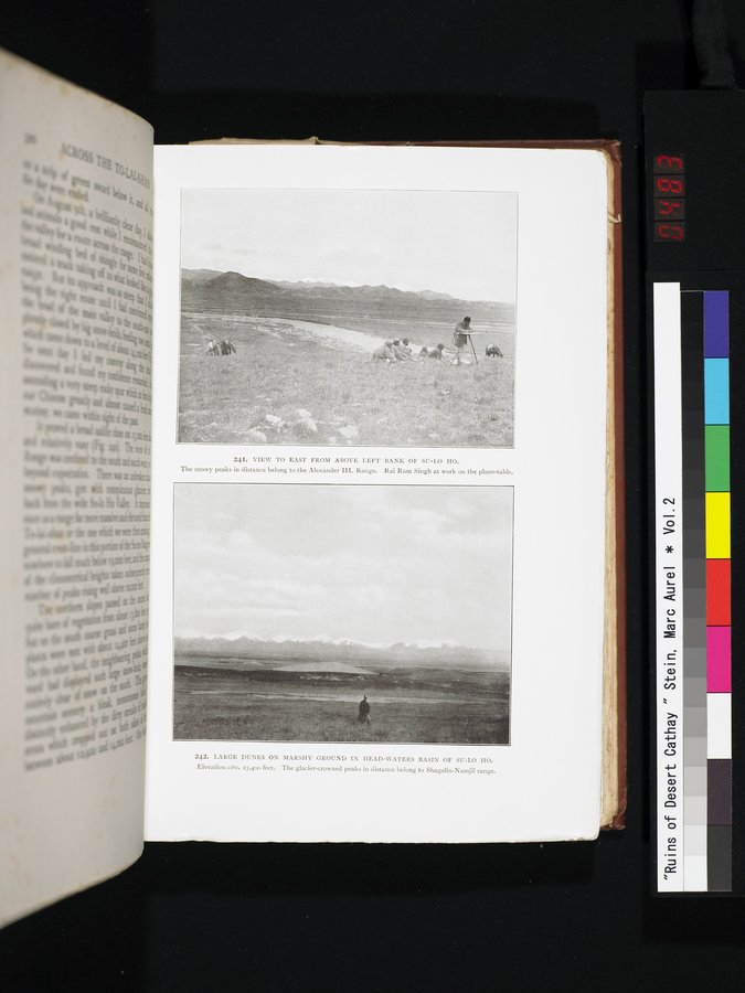 |
| VIEW TO EAST FROM ABOVE LEFT BANK OF SU-LO HO. The snowy peaks in distance belong to the Alexander III. Range. Rai Ram Singh at work on the plane-table. | |
| LARGE DUNES ON MARSHY GROUND IN HEAD-WATERS BASIN OF SU-LO HO. Elevation circ. 13,400 feet. The glacier-crowned peaks in distance belong to Shagolin-Namjil range. |
le
241. VIEW TO EAST FROM ABOVE LEFT BANK OF SU-LO HO.
The snowy peaks in distance belong to the Alexander III. Range. Rai Ram Singh at work on the plane-table.
/ ! , yj/>'.
cr
n;
I
ïi
242. LARGE DUNES ON MARSHY GROUND IN HEAD-WATERS BASIN OF SU-LO HO. Elevation circ. 13,400 feet. The glacier-crowned peaks in distance belong to Shagolin-Namjil range.
1
|
Copyright (C) 2003-2019 National Institute of Informatics and The Toyo Bunko. All Rights Reserved.