National Institute of Informatics - Digital Silk Road Project
| |||||||||
|
| Peking to Lhasa : vol.1 |
 |
TO LAN-CHOW 77
down the Ta-tu-ho (or Ta-chin-ho) for 14 miles and then crossed to the left bank by a fine
suspension bridge of planks laid on thick strands of rope with similar strands as a support on the
sides. He then followed up a deep valley with
small Tibetan and Chinese villages—the Chinese low down and the Tibetans high up, and these
latter villages having high four-sided towers,
narrowing towards the top, which in the old days were used for defence. The only form of boat
used on the rivers in these parts was a coracle made of skins and sewn together. These are circular in shape with a framework of wood or bamboo.
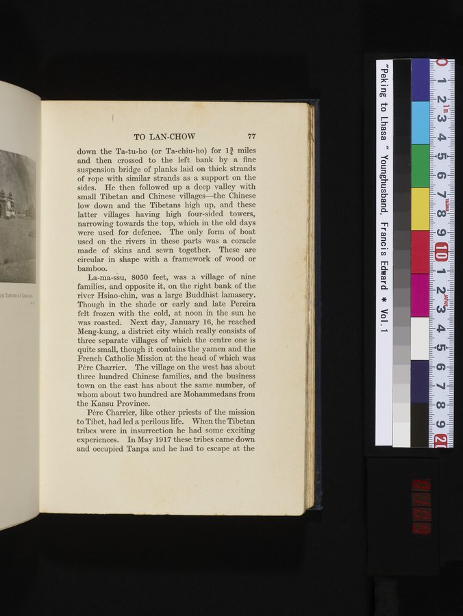
La-ma-ssu, 8050 feet, was a village of nine families, and opposite it, on the right bank of the
river Hsiao-chin, was a large Buddhist lamasery.
Though in the shade or early and late Pereira felt frozen with the cold, at noon in the sun he
was roasted. Next day, January 16, he reached
Meng-kung, a district city which really consists of three separate villages of which the centre one is
quite small, though it contains the yamen and the
French Catholic Mission at the head of which was Père Charrier. The village on the west has about
three hundred Chinese families, and the business town on the east has about the same number, of whom about two hundred are Mohammedans from the Kansu Province.
Père Charrier, like other priests of the mission to Tibet, had led a perilous life. When the Tibetan tribes were in insurrection he had some exciting experiences. In May 1917 these tribes came down and occupied Tanpa and he had to escape at the
|
Copyright (C) 2003-2019 National Institute of Informatics and The Toyo Bunko. All Rights Reserved.