National Institute of Informatics - Digital Silk Road Project
| |||||||||
|
| Peking to Lhasa : vol.1 |
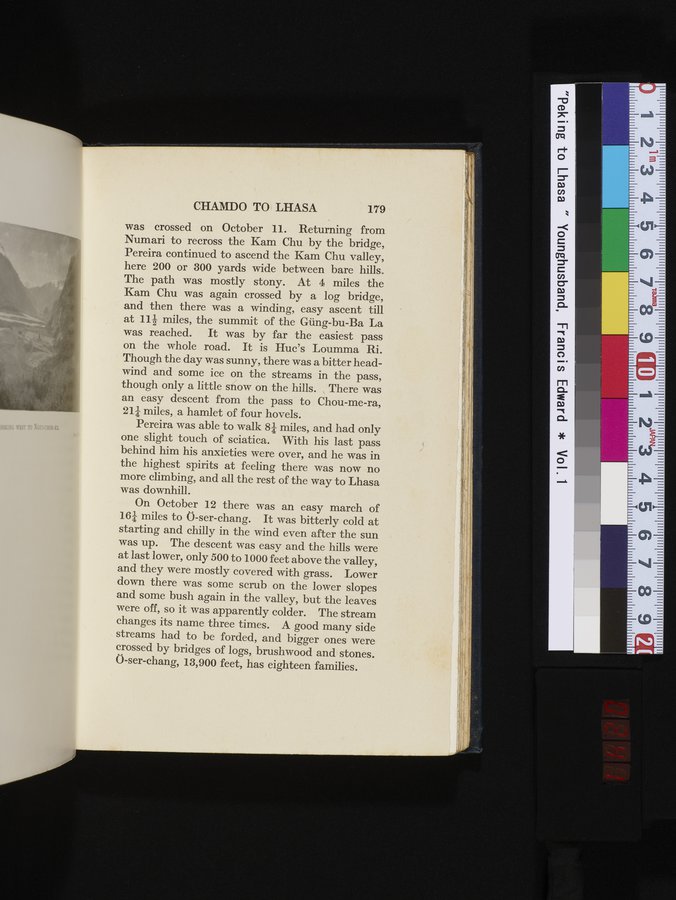 |
CHAMDO TO LHASA 179
was crossed on October 11. Returning from
Numari to recross the Kam Chu by the bridge,
Pereira continued to ascend the Kam Chu valley,
here 200 or 300 yards wide between bare hills.
The path was mostly stony. At 4 miles the
Kam Chu was again crossed by a log bridge,
and then there was a winding, easy ascent till
at 112 miles, the summit of the Güng-bu-Ba La
was reached. It was by far the easiest pass
on the whole road. It is Huc's Loumma Ri.
Though the day was sunny, there was a bitter head-
wind and some ice on the streams in the pass,
though only a little snow on the hills. There was
an easy descent from the pass to Chou-me-ra,
214 miles, a hamlet of four hovels.
Pereira was able to walk 8/ miles, and had only
one slight touch of sciatica. With his last pass
behind him his anxieties were over, and he was in
the highest spirits at feeling there was now no
more climbing, and all the rest of the way to Lhasa
was downhill.
On October 12 there was an easy march of
164 miles to Ö-ser-chang. It was bitterly cold at
starting and chilly in the wind even after the sun
was up. The descent was easy and the hills were
at last lower, only 500 to 1000 feet above the valley,
and they were mostly covered with grass. Lower
down there was some scrub on the lower slopes
and some bush again in the valley, but the leaves
were off, so it was apparently colder. The stream
changes its name three times. A good many side
streams had to be forded, and bigger ones were
crossed by bridges of logs, brushwood and stones.
Ö-ser-chang, 13,900 feet, has eighteen families.
|
Copyright (C) 2003-2019 National Institute of Informatics and The Toyo Bunko. All Rights Reserved.