National Institute of Informatics - Digital Silk Road Project
| |||||||||
|
| Peking to Lhasa : vol.1 |
 |
CHAMDO TO LHASA 173
of a small official, who called on Pereira in his
robes of state bringing a present of eggs and
vegetables. Pereira returned his call. He sat
cross - legged on a divan while Pereira was en-
throned on the chair of state. He expressed
wonder at Pereira at his age walking up all the
hills, and said that he himself always rode, though
he was only forty-four. From his account Hue
did not exaggerate the terrors of the passes in
winter, when the Shiar-güng La is the worst.
The Banda La was crossed on October 2 and
Pereira marched 11 miles to Atsa. The way lay
up and down barren hills with no inhabitants,
and at 74 miles there was a steep climb to the
top of the Banda Pass, which he made, 16,000 feet
in height. Though snow covered the ground the
path was clear. There was a rather steep wind-
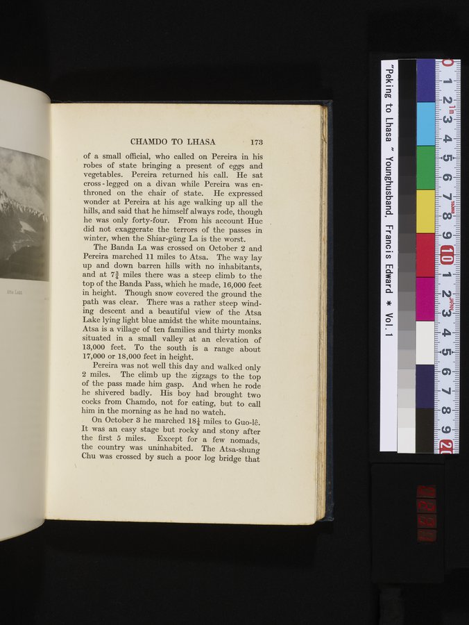
ing descent and a beautiful view of the Atsa
Lake lying light blue amidst the white mountains.
Atsa is a village of ten families and thirty monks
situated in a small valley at an elevation of
13,000 feet. To the south is a range about
17,000 or 18,000 feet in height.
Pereira was not well this day and walked only
2 miles. The climb up the zigzags to the top
of the pass made him gasp. And when he rode
he shivered badly. His boy had brought two
cocks from Chamdo, not for eating, but to call
him in the morning as he had no watch.
On October 3 he marched 184 miles to Guo-lê.
It was an easy stage but rocky and stony after
the first 5 miles. Except for a few nomads,
the country was uninhabited. The Atsa-shung
Chu was crossed by such a poor log bridge that
|
Copyright (C) 2003-2019 National Institute of Informatics and The Toyo Bunko. All Rights Reserved.