National Institute of Informatics - Digital Silk Road Project
| |||||||||
|
| Explorations in Turkestan : Expedition of 1904 : vol.2 |
 |
| The Kizil Su where it leaves the Alai Valley. |
DESERTS. 265
KARATEGIN AND HISSAR.
The highlands of northeastern Bokhara are portioned between Karategin and Hissar, two remote provinces still surviving as feudal tributaries of the ancient khanate. Ethnographically, this is a region of high valley oases similar to those of the Zerafshan, remarkably isolated, and preservative of a distinct type of man, the Galcha, still speaking a relatively pure Aryan dialect—rare survivals of a primitive sedentary stock, elsewhere diluted or exterminated by the nomads. Physiographically, it is an important portion of the Oxus drainage system, which, in Quaternary time alone, has enacted a series of both hydrographie and topographic changes of astounding magnitude.
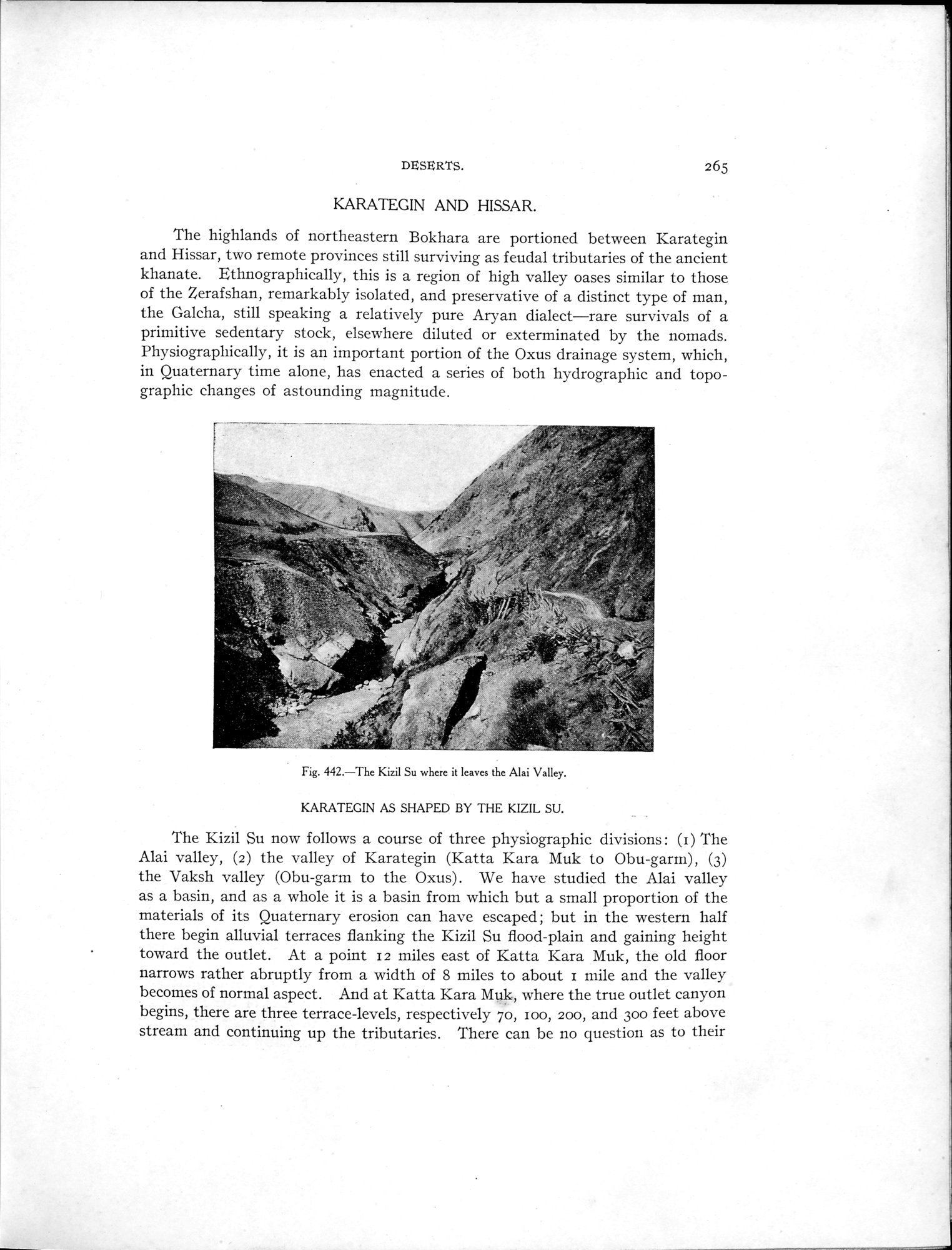
Fig. 442.—The Kizil Su where it leaves the Alai Valley. KARATEGIN AS SHAPED BY THE KIZIL SU.
The Kizil Su now follows a course of three physiographic divisions : (r) The Alai valley, (2) the valley of Karategin (Katta Kara Muk to Obu-garrn), (3) the Vaksh valley (Obu-garm to the Oxus) . We have studied the Alai valley as a basin, and as a whole it is a basin from which but a small proportion of the materials of its Quaternary erosion can have escaped ; but in the western half there begin alluvial terraces flanking the Kizil Su flood-plain and gaining height toward the outlet. At a point 12 miles east of Katta Kara Muk, the old floor narrows rather abruptly from a width of 8 miles to about mile and the valley becomes of normal aspect. And at Katta Kara Muk, where the true outlet canyon begins, there are three terrace-levels, respectively 70, zoo, 200, and 300 feet above stream and continuing up the tributaries. There can be no question as to their
|
Copyright (C) 2003-2019 National Institute of Informatics and The Toyo Bunko. All Rights Reserved.