National Institute of Informatics - Digital Silk Road Project
| |||||||||
|
| Explorations in Turkestan : Expedition of 1904 : vol.2 |
 |
| The Dargum Canal in the Up-warped Loess-steppe of Samarkand. |
{
DESERTS.
283
The principal river which traverses the Tarim basin is the Yarkend Darya, which flows to Lob-nor after having been joined by the Kizil Su from the west, Ak Su from the north, and the Kotan Darya, which heads in Tibet and crosses between zoo and 300 miles of flying sands of the desert nucleus before reaching that trunk-stream. All other streams are consumed in the piedmont zone encircling its vast nucleus of flying sands, and through whose uptilted margins of more ancient alluvium they have carved prolongations of their valleys. The piedmont zone thus becomes of special interest in its exposures of various Quaternary horizons and stands as a structural key to the crustal movements peculiar to its basin as a whole. With its uptilted margins often composing half its width, this zone varies up to a hundred miles across with irregular limits, here and there containing an isolated area of flying sands, no doubt derived from the sifting of its silt.
THE UPTILTED PIEDMONTS OF NORTHWESTERN TARIM AS A KEY TO THE PAST.
In northwestern Tarim alluviation of the piedmont zone is nearly confined to that from smaller streams, while the larger systems tributary to Lob-nor traverse or cross it in channels slowly decreasing in depth downstream. If it be crossed on a trail over portions independent of these larger streams and where alluviation from smaller streams is building the playas and gravel-plains of to-day; if we proceed mountainwards over such areas, in the course of 15 or 20 miles from the edge of the great sand behind we come to where no deposition is going on, and there begin shallow channels debouching from the margin of abandoned piedmont to spread below. From there on to the mountains this ancient piedmont slopes up, ever higher, above the streams dissecting it. Riding on to this, we find its dry red silt, left prey to wind, has withered into varied and fantastic forms—a vast deflated area of flat-topped remnants ranged in rows, with wide intervening trenches that are half-choked with heaps of sand. These miniature monadnocks of deflation stand to a general level, while the trenches vary up to i 5 feet in depth,
... _ •
/-.
~
_ L,c ?0 • cwN~1~1~dMÍ'•. , . r iF. ':•_ ' . .. ". '~~__
~•r •
`"`.:sr. -377 '
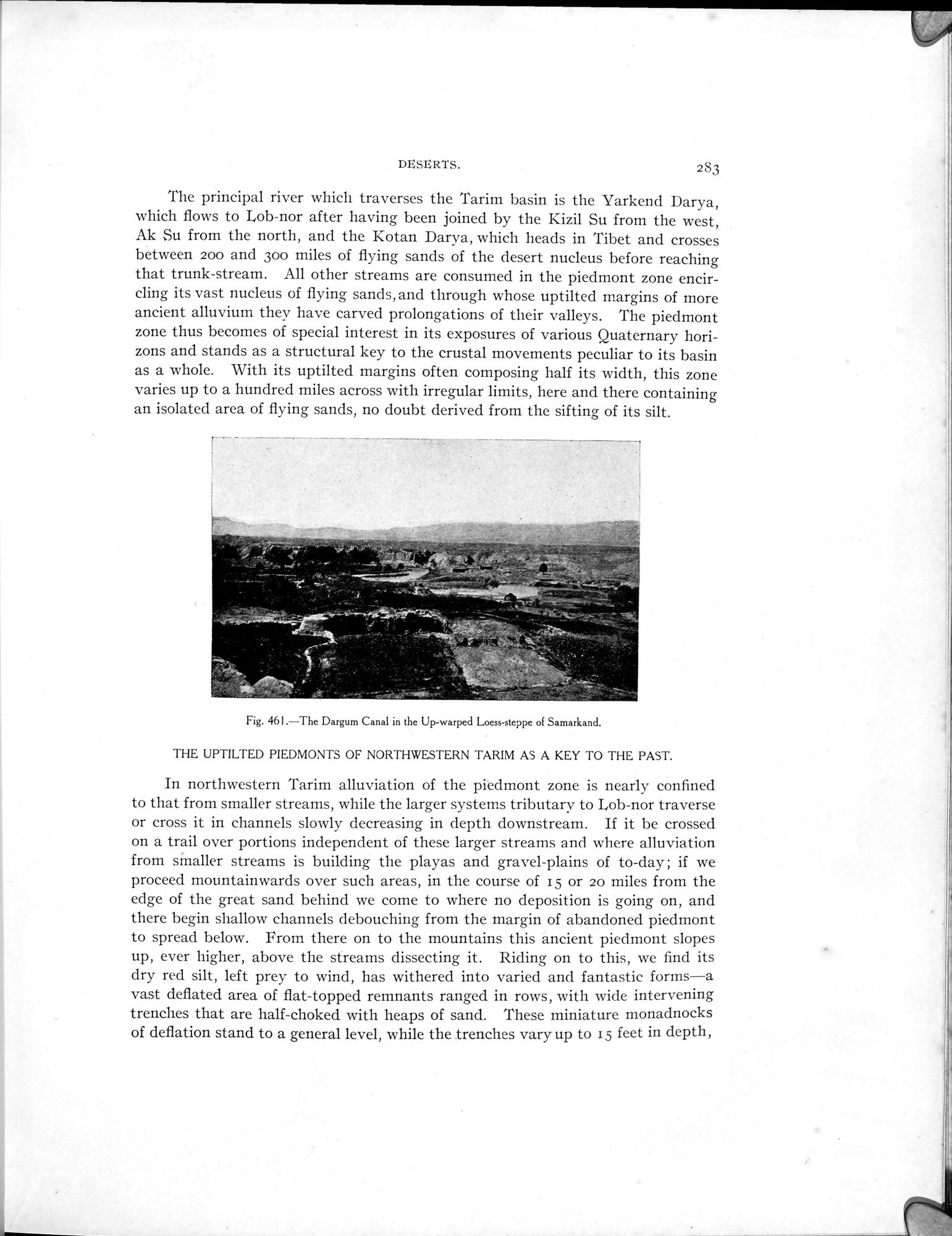
Fig. 461.—The Dargum Canal in the Up-warped Loess-steppe of Samarkand.
|
Copyright (C) 2003-2019 National Institute of Informatics and The Toyo Bunko. All Rights Reserved.