National Institute of Informatics - Digital Silk Road Project
| |||||||||
|
| Explorations in Turkestan : Expedition of 1904 : vol.2 |
 |
| Kak Pass over the Hissar Mountains. |
DESERTS. 273
canyon with cliffs rising often i,000 feet sheer and sometimes 500 feet overhanging. Its population in the more open portion, the first 15 miles, is divided between shepherds and villagers. There the valley sides rise 2,000 feet at an angle of 25° to 30°, but are luxuriantly clothed with grass. On terraces along the bottom are its villages of square huts with flat mud roofs and cobblestone walls cemented with clay. These are usually seen incased with cakes of dung fuel, piled carefully up against the walls or heaped in cones on the roof to dry.
The granite gorge beginning about 15 miles below, though for the most part a canyon with sheer walls, widens out occasionally, especially where tributary valleys come in. Here we find villages of sloping thatched roofs, recalling those of Europe, and a variety of trees. The mountains above the granite walls are sparsely forested with scrubby cedars. Willow, sugar-maple, yellow birch, hickory, poplar, cedar, black elm, wild cherry, and wild plum grow along the bottom.
It is an extraordinary fact that all excepting the cedar had a familiar aspect,
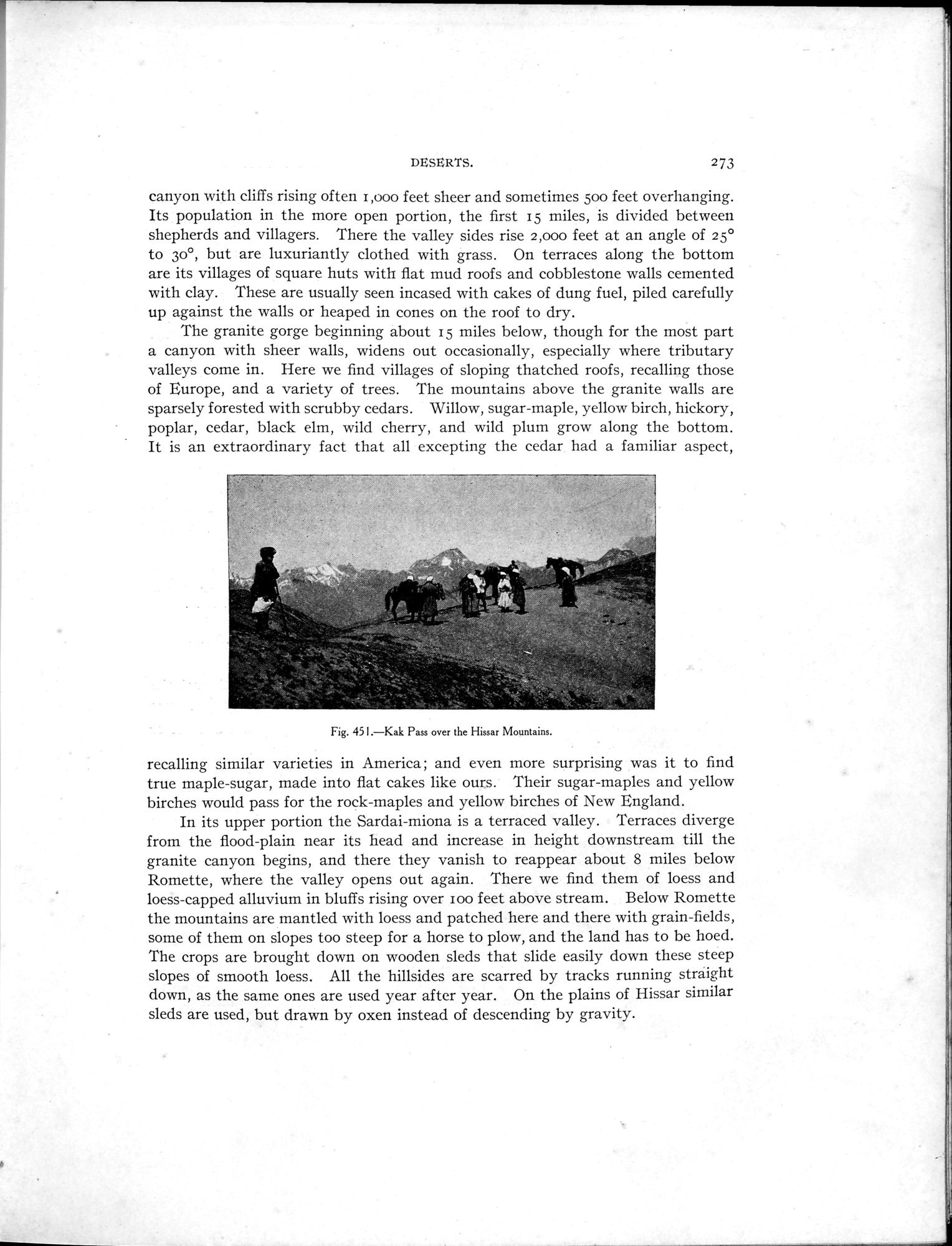
Fig. 451.—Kak Pass over the Rissar Mountains.
recalling similar varieties in America; and even more surprising was it to find true maple-sugar, made into flat cakes like ours. Their sugar-maples and yellow birches would pass for the rock-maples and yellow birches of New England.
In its upper portion the Sardai-miona is a terraced valley. Terraces diverge from the flood-plain near its head and increase in height downstream till the granite canyon begins, and there they vanish to reappear about 8 miles below Romette, where the valley opens out again. There we find them of loess and loess-capped alluvium in bluffs rising over ioo feet above stream. Below Romette the mountains are mantled with loess and patched here and there with grain-fields, some of them on slopes too steep for a horse to plow, and the land has to be hoed. The crops are brought down on wooden sleds that slide easily down these steep slopes of smooth loess. All the hillsides are scarred by tracks running straight down, as the same ones are used year after year. On the plains of Hissar similar sleds are used, but drawn by oxen instead of descending by gravity.
|
Copyright (C) 2003-2019 National Institute of Informatics and The Toyo Bunko. All Rights Reserved.