National Institute of Informatics - Digital Silk Road Project
| |||||||||
|
| Explorations in Turkestan : Expedition of 1904 : vol.2 |
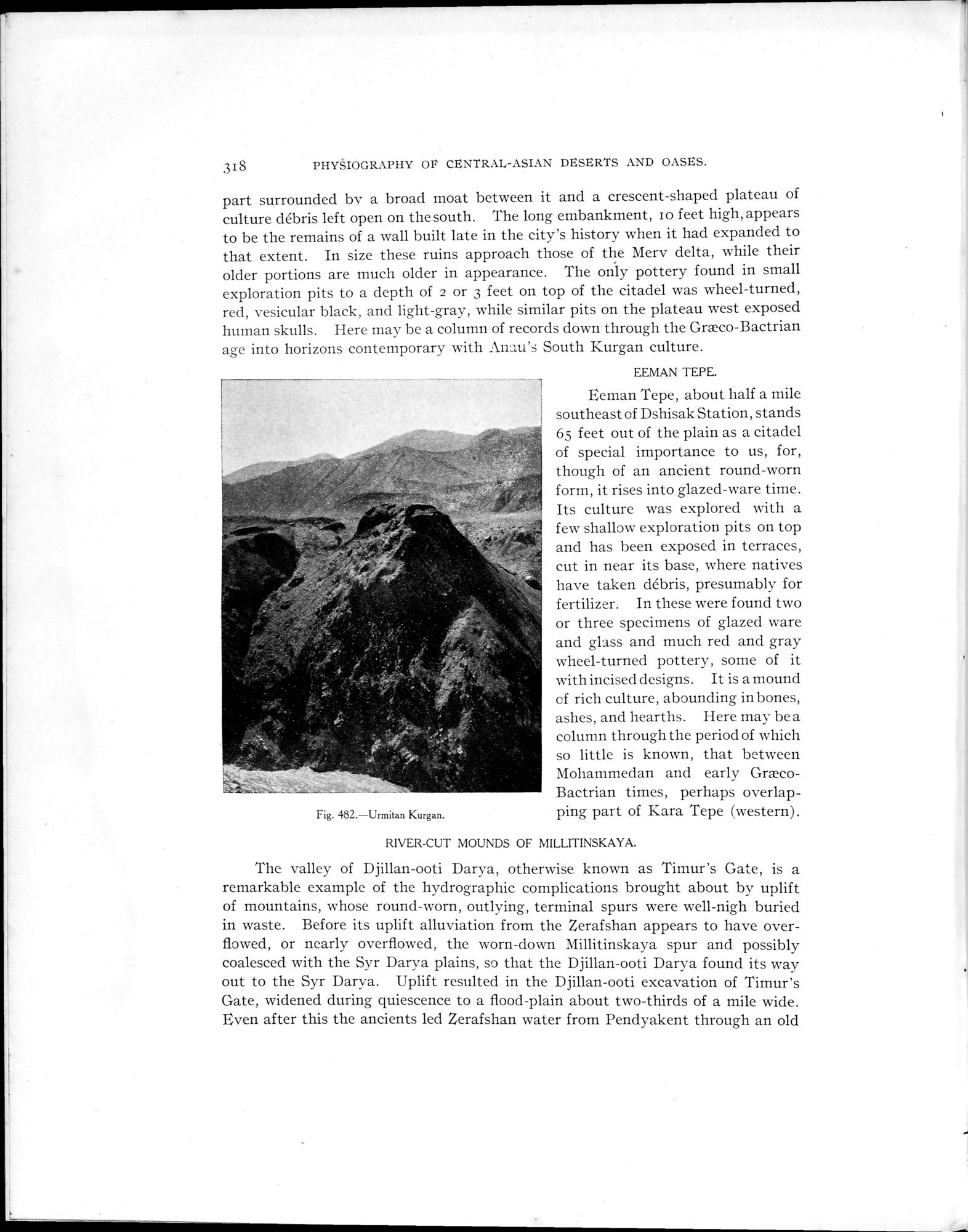 |
| Urmitan Kurgan. |
318 PHYSIOGRAPHY OI CENTRAL-ASIAN DESERTS AND OASES.
part surrounded by a broad moat between it and a crescent-shaped plateau of culture débris left open on the south. The long embankment, Io feet high, appears to be the remains of a wall built late in the city's history when it had expanded to that extent. In size these ruins approach those of the Mery delta, while their older portions are much older in appearance. The only pottery found in small exploration pits to a depth of 2 or 3 feet on top of the citadel was wheel-turned, red, vesicular black, and light-gray, while similar pits on the plateau west exposed human skulls. Here may be a column of records down through the Græco-Bactrian age into horizons contemporary with lnau's South Kurgan culture.
EEMAN TEPE.
Eeman Tepe, about half a mile southeast of Dshisak Station, stands 65 feet out of the plain as a citadel of special importance to us, for, though of an ancient round-worn form, it rises into glazed-ware time.
~. Its culture was explored with a
few shallow exploration pits on top
Fig. 482.—Urmitan Kurgan.
and has been exposed in terraces, cut in near its base, where natives have taken débris, presumably for fertilizer. In these were found two or three specimens of glazed ware and glass and much red and gray wheel-turned pottery, some of it with incised designs. It is a mound of rich culture, abounding in bones, ashes, and hearths. Here may be a column through the period of which so little is known, that between Mohammedan and early GræcoBactrian times, perhaps overlapping part of Kara Tepe (western) .
RIVER-CUT MOUNDS OF MILLITINSKAYA.
The valley of Djillan-ooti Darya, otherwise known as Timur's Gate, is a remarkable example of the hydrographie complications brought about by uplift of mountains, whose round-worn, outlying, terminal spurs were well-nigh buried in waste. Before its uplift alluviation from the Zerafshan appears to have overflowed, or nearly overflowed, the worn-down Millitinskaya spur and possibly coalesced with the Syr Darya plains, so that the Djillan-ooti Darya found its way out to the Syr Darya. Uplift resulted in the Djillan-ooti excavation of Timur's Gate, widened during quiescence to a flood-plain about two-thirds of a mile wide. Even after this the ancients led Zerafshan water from Pendyakent through an old
|
Copyright (C) 2003-2019 National Institute of Informatics and The Toyo Bunko. All Rights Reserved.