National Institute of Informatics - Digital Silk Road Project
| |||||||||
|
| Explorations in Turkestan : Expedition of 1904 : vol.2 |
 |
| Manish Valley Terraces (in the Kopet Dagh Mountains) |
DESERTS. 291
THE ARALO-CASPIAN BASIN.
COMPLICATIONS AND FUNCTIONAL PECULIARITIES ARISING FROM SHAPE AND SIZE.
The broad definitions and most of the great features of the Aralo-Caspian basin have been so well set forth by Professor Pumpelly that little more than a description of its four deposition zones remains to be here undertaken. In the Tarim and Fergana basins we found that plains of deposition and their deformed margins express fully as much as their bordering mountains do, and perhaps even more, of the history of their basins. This is especially so of the Aralo-Caspian, where lacustrian zones become an important aid. Its peculiar shape and but half-isolated state, with naught but low divides north and west, have given it a history so involved and complicated with outside influences . that we must be contented with explaining only a very few of its greater features and direct our attention to those concerning the archeology of its southern part.
An important part of its physiography has already entered this report in undertaking that of the Pamir, Alai valley and Kizil Su, Karategin and Hissar, Zerafshan, and Fergana basin, which taken together compose most of its high eastern drainage area. In considering the immense area of high mountains drained
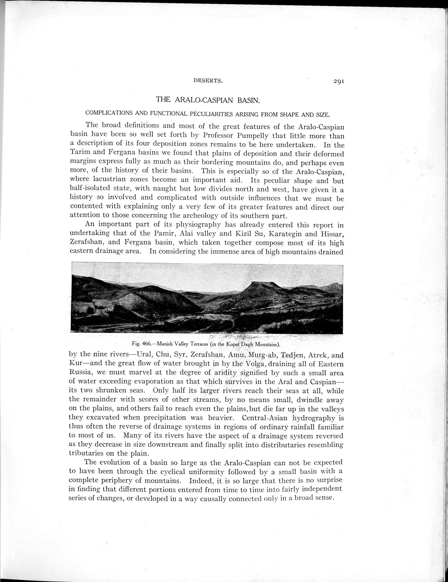
Fig. 466.—Manish Valley Terraces (in the Kopet Dagh Mountains).
by the nine rivers—Ural, Chu, Syr, Zerafshan, Amu, Murg-ab, Tedjen, Atrek, and Kur—and the great flow of water brought in by the Volga, draining all of Eastern Russia, we must marvel at the degree of aridity signified by such a small area of water exceeding evaporation as that which súrvives in the Aral and Caspian—its two shrunken seas. Only half its larger rivers reach their seas at all, while the remainder with scores of other streams, by no means small, dwindle away on the plains, and others fail to reach even the plains, but die far up in the valleys they excavated when precipitation was heavier. Central-Asian hydrography is thus often the reverse of drainage systems in regions of ordinary rainfall familiar to most of us. Many of its rivers have the aspect of a drainage system reversed as they decrease in size downstream and finally split into distributaries resembling tributaries on the plain.
The evolution of a basin so large as the Aralo-Caspian can not be expected to have been through the cyclical uniformity followed by a small basin with a complete periphery of mountains. Indeed, it is so large that there is no surprise in finding that different portions entered from time to time into fairly independent series of changes, or developed in a way causally connected only in a broad sense.
|
Copyright (C) 2003-2019 National Institute of Informatics and The Toyo Bunko. All Rights Reserved.