THE KURUK-DARJA AND THE COUNTRY SOUTH OF THE KURUK-TAGH. 45
to is so distinct, and so extraordinarily well preserved, that it might very well be taken for a boldschemal abandoned only one or two years ago. On its bank there were however only two or three poplars. Its deepest part, on the outside, next the scarped bank on the longer periphery, was a crescentic pool, full of water, of precisely the same appearance as any loop quite recently deserted by the river. It contained no ice, but its water was a good deal salter than that in the bend at Jing-pen. There was also a flock of wild-duck on its banks. There can be no doubt that this loop is fed by freshwater springs, and has no connection whatever with the marsh at Jing-pen.
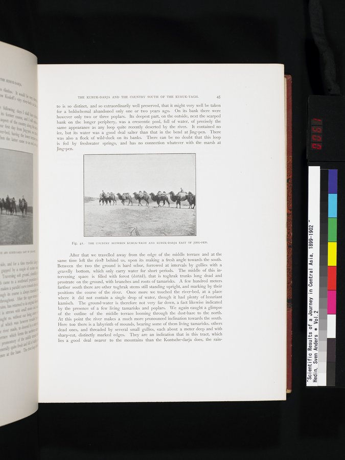
Fig. 4I. THE COUNTRY BETWEEN KURUK-TAGH AND KURUK-DARJA EAST OF JING-YEN.
After that we travelled away from the edge of the middle terrace and at the same time left the rive behind us, upon its making a fresh angle towards the south. Between the two the ground is hard schor, furrowed at intervals by gullies with a gravelly bottom, which only carry water for short periods. The middle of this intervening space is filled with forest (kötäk), that is toghrak trunks long dead and prostrate on the ground, with branches and roots of tamarisks. A few hundred meters farther south there are other toghrak stems still standing upright, and marking by their positions the course of the river. Once more we touched the river-bed, at a place where it did not contain a single drop of water, though it had plenty of luxuriant kamisch. The ground-water is therefore not very far down, a fact likewise indicated by the presence of a few living tamarisks and poplars. We again caught a glimpse of the outline of the middle terrace looming through the dust-haze to the north. At this point the river makes a much more pronounced inclination towards the south. Here too there is a labyrinth of mounds, bearing some of them living tamarisks, others dead ones, and threaded by several small gullies, each about a meter deep and with sharp-cut, distinctly marked edges. They are an indication that in this tract, which lies a good deal nearer to the mountains than the Kontsche-darja does, the rain-