National Institute of Informatics - Digital Silk Road Project
| |||||||||
|
| Scientific Results of a Journey in Central Asia, 1899-1902 : vol.2 |
 |
| Terrace and sand-dunes. | |
| Terrace and sand-dunes. |
FROM THE DESERT RANGES TO THE KURUK-TAGH. 497
well were supported by poles, to prevent them from falling in. The areometer recorded a sp. gr. of i .0036, so that the water was relatively drinkable. In the immediate vicinity of the well were five perfectly vigorous poplars, of a mature age,
and without any trace of mounds.
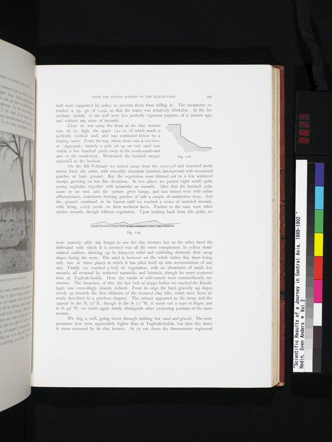
Close to our camp the front of the clay terrace was 26 m. high, the upper 14.6 m. of which made a
perfectly vertical wall, and was continued below by a
sloping scree. From the top, where there was a nischan, or »sign-post», namely a pole set up on end, sand was
visible a few hundred yards away to the south-south-east and to the south-west. Westwards the kamisch steppe extended to the horizon.
On the 8th February we turned away from the astin jol and marched north across hard, dry schor, with tolerably abundant kamisch, interspersed with occasional patches of bare ground. But the vegetation soon thinned out to a few scattered clumps growing on low flat elevations. In two places we passed eight small, quite young toghraks, together with tamarisks on mounds. After that the kamisch quite came to an end, and the surface grew lumpy, and was dotted over with saline efflorescences, sometimes forming patches of salt a couple of centimeters deep. And the ground continued to be barren until we reached a series of rounded mounds, with living schrp scrub on their northern faces. Farther to the east, were other similar mounds, though without vegetation. Upon looking back from this point, we
Fig. zag,
were scarcely able any longer to see the clay terrace; but on the other hand the drift-sand with which it is covered was all the more conspicuous, its yellow denticulated. outlines showing up in sharp-cut relief and exhibiting distinctly their steep slopes facing the west. The sand is however on the whole rather flat, there being only two or three places in which it has piled itself up into accumulations of any size. Finally we reached a belt of vegetation, with an abundance of small, low mounds, all crowned by withered tamarisks and kamisch, though far more scattered than at Toghrak-kuduk. Here the tracks of wild-camels were extraordinarily numerous. The boundary of this, the last belt of steppe before we reached the Kuruktagh, was exceedingly sharply defined. From its edge the hard gravelly saj slopes slowly up towards the first offshoots of the terraced clay hills, which have been already described in a previous chapter. The terrace appeared to die away and disappear in the N. 72° E., though in the S. 71° W. it sends out a cape or finger, and in S. 49° W. we could again faintly distinguish other projecting portions of the same terrace.
We dug a well, going down through nothing but sand and gravel. The temperatures here were appreciably higher than at Toghrak-kuduk, but then this latter is more screened by its clay terrace. At 25 cm. clown the thermometer registered
Fig. 228.
|
Copyright (C) 2003-2019 National Institute of Informatics and The Toyo Bunko. All Rights Reserved.