TSCHERNOFF'S . EXPEDITION. 507
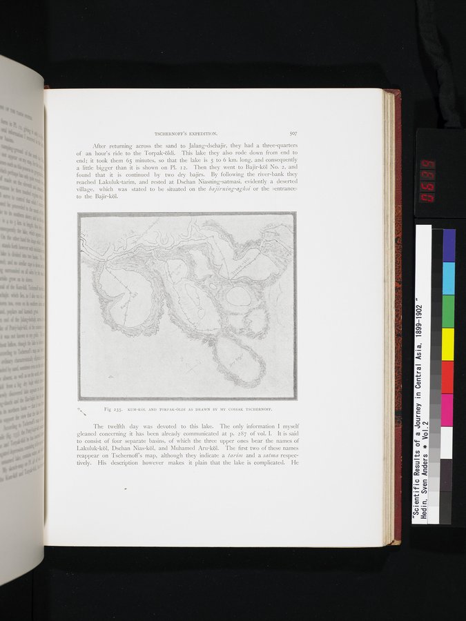
After returning across the sand to Jâlang-dschajir, they had a three-quarters of an hour's ride to the Torpak-öldi. This lake they also rode down from end to end; it took them 65 minutes, so that the lake is 5 to 6 km. long, and consequently a little bigger than it is shown on Pl. 12. Then they went to Bajir-köl No. 2, and found that it is continued by two dry bajirs. By following the river-bank they reached Lakuluk-tarim, and rested at Dschan Niasning-satmasi, evidently a deserted village, which was stated to be situated on the bajirning-aghsi or the »entrance» to the Bajir-köl.
Fig 235. KUM-KÖL AND TORPAK-ÖLDI AS DRAWN BY MY COSSAK TSCHERNOFF.
The twelfth day was devoted to this lake. The only information I myself gleaned concerning it has been already communicated at p. 287 of vol. I. It is said to consist of four separate basins, of which the three upper ones bear the names of Lakuluk-köl, Dschan Nias-köl, and Muhamed Aru-köl. The first two of these names reappear on Tschernoff's map, although they indicate a tarim and a sauna respectively. His description however makes it plain that the lake is complicated. He