5o8 GENERAL HYDROGRAPHY OF THE TARIM SYSTEM.
says that from the aghsi of the Bajir-köl it was a 25 minutes' ride to Islam Niasning-köli, and from there a ride of 5o minutes to Niser Kulluning-boltasi and Ahmetning-boltasi, which are said to form a separate, though now dry, lake-basin. Thence it was only 5 minutes to the Mahametning-köli, but to ride across this lake
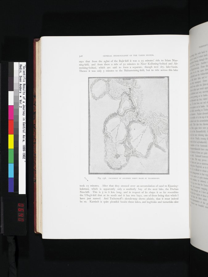
Fig. 236. FACSIMILE OF ANOTHER SHEET MADE BY TSCHERNOFF.
took 25 minutes. After that they crossed over an accumulation of sand to Ejsaningkakmasi, which is apparently only a southerly bay of the next lake, the Dschan Nias-köl. This is 5 to 6 km. long, and in respect of its shape it so far resembles the Ullugh-köl that at its south end it has two bays, one of them being that which I have just named. And Tschernoff's sketch-map shows plainly, that it must indeed be so. Kamisch is quite plentiful beside these lakes, and toghraks and tamarisks also