National Institute of Informatics - Digital Silk Road Project
| |||||||||
|
| Scientific Results of a Journey in Central Asia, 1899-1902 : vol.2 |
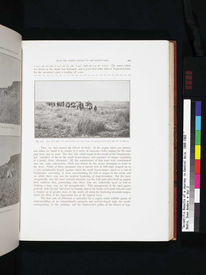 |
| THE LAST BELT OF VEGETATION ON THE ROAD TO KURUK-TAGH (see also Pl. 6 and 7). |
FROM THE DESERT RANGES TO THE KURUK-TAGH. 499
+ 2.3°, at 5o cm. + 3.4°, at 75 cm. + 4.6°, and at 1.20 m. + 6.5°. The water, which we struck at the depth last indicated, was a good deal salter than at Toghrak-kuduk, for the areometer gave a reading of i .00s2.
Fig. 232. THE LAST BELT OF VEGETATION ON THE ROAD TO KURUK-TAGH (see also Pl. 6 and 7).
Thus we had crossed the Desert of Gobi. In the region where our journey was taken we found it to consist of a series of successive belts, running for the most part from east to west. The first belt, which began at the mouth of the Anambaruingol, extended as far as the small desert-ranges, and consisted of steppe vegetation of a pretty dense character. All the watercourses of that tract were concentrated into one main watercourse, which was forced by the desert mountains to bend to the west. North of these mountains was a narrow belt of drift-sand, heaped up to a very considerable height, against which the small desert-ranges acted as a sort of breakwater, preventing it from overwhelming the belt of steppe to the south, and on which there was not the smallest beginning of dune-formation. But the more energetically, and the more violently therefore, has the drift-sand piled itself up against their northern foot, penetrating into those that are sufficiently open, as well as climbing a long way up the mountain-side. This arrangement of the sand agrees perfectly with the law laid down by Potanin, that in the basins of Central Asia the sand is heaped up in greater mass on the south, all along the bordering mountain-ranges, where the floor of the depressions lies at the highest level.
The first zone of drift-sand is succeeded by a region which exhibits proofs of wind-modelling on an extraordinarily energetic and well-developed scale, the results corresponding to the jardangs and the wind-eroded gullies of the Desert of Lop.
|
Copyright (C) 2003-2019 National Institute of Informatics and The Toyo Bunko. All Rights Reserved.