National Institute of Informatics - Digital Silk Road Project
| |||||||||
|
| Scientific Results of a Journey in Central Asia, 1899-1902 : vol.2 |
 |
| SIDE-RAVINES OPENING THROUGH THE CALY HILLS. | |
| PROFILE THROUGH SOME CLAY HILLS. |
488 THE CENTRAL ASIAN DESERTS, SAND-DUNES, AND SANDS.
elevations there are nowhere any evidences of flowing water. It appeared never to rain there; at all events all traces of the last shower that fell, whenever that was, had totally disappeared. Here too, as in the Desert of Lop, it is possible to distinguish three different stages or storeys, though the third and highest is less general than the two below it, and only occurs intermittently. It is the middle stage that predominates, and it was that which bordered the depression we were marching along. The terrace-wall was, as I have already observed, highest on the right, but even there it did not form anything like a continuous wall, but was pierced at intervals by small side-ravines, evidence, apparently, that it can indeed rain in that region, for these side-ravines were unquestionably erosion-trenches, and entered the depression at an acute angle. The lowest storey is rarer, and forms small detached tables or cones scattered sporadically over the hollow between the two bordering terraces.
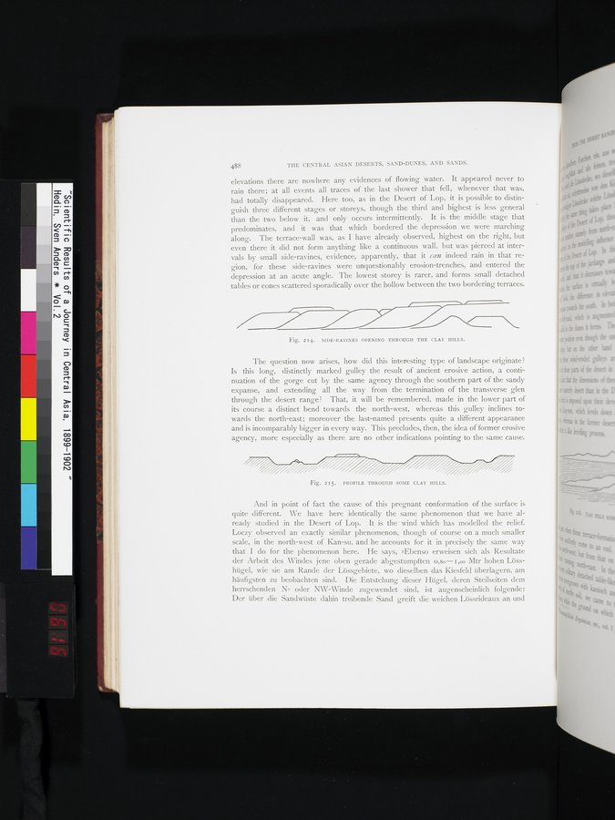
Fig. 214. SIDE-RAVINES OPENING THROUGH THE CLAY HILLS.
The question now arises, how did this interesting type of landscape originate? Is this long, distinctly marked gulley the result of ancient erosive action, a continuation of the gorge cut by the same agency through the southern part of the sandy expanse, and extending all the way from the termination of the transverse glen through the desert range? That, it will be remembered, made in the lower part of its course a distinct bend towards the north-west, whereas this gulley inclines towards the north-east; moreover the last-named presents quite a different appearance and is incomparably bigger in every way. This precludes, then, the idea of former erosive agency, more especially as there are no other indications pointing to the same cause.
Fig. 215. PROFILE THROUGH SOME CLAY HILLS.
And in point of fact the cause of this pregnant conformation of the surface is quite different. We have here identically the same phenomenon that we have already studied in the Desert of Lop. It is the wind which has modelled the relief. Loczy observed an exactly similar phenomenon, though of course on a much smaller scale, in the north-west of Kan-su, and he accounts for it in precisely the same way that I do for the phenomenon here. He says, »Ebenso erweisen sich als Resultate der Arbeit des Windes jene oben gerade abgestumpften o,so— I ,00 Mtr hohen Lösshügel, wie sie am Rande der Lössgebiete, wo dieselben das Kiesfeld überlagern, am häufigsten zu beobachten sind. Die Entstehung dieser Hügel, deren Steilseiten dem herrschenden N- oder NW-Winde zugewendet sind, ist augenscheinlich folgende: Der über die Sandwüste dahin treibende Sand greift die weichen Lössrideaux an und
|
Copyright (C) 2003-2019 National Institute of Informatics and The Toyo Bunko. All Rights Reserved.