National Institute of Informatics - Digital Silk Road Project
| |||||||||
|
| Scientific Results of a Journey in Central Asia, 1899-1902 : vol.2 |
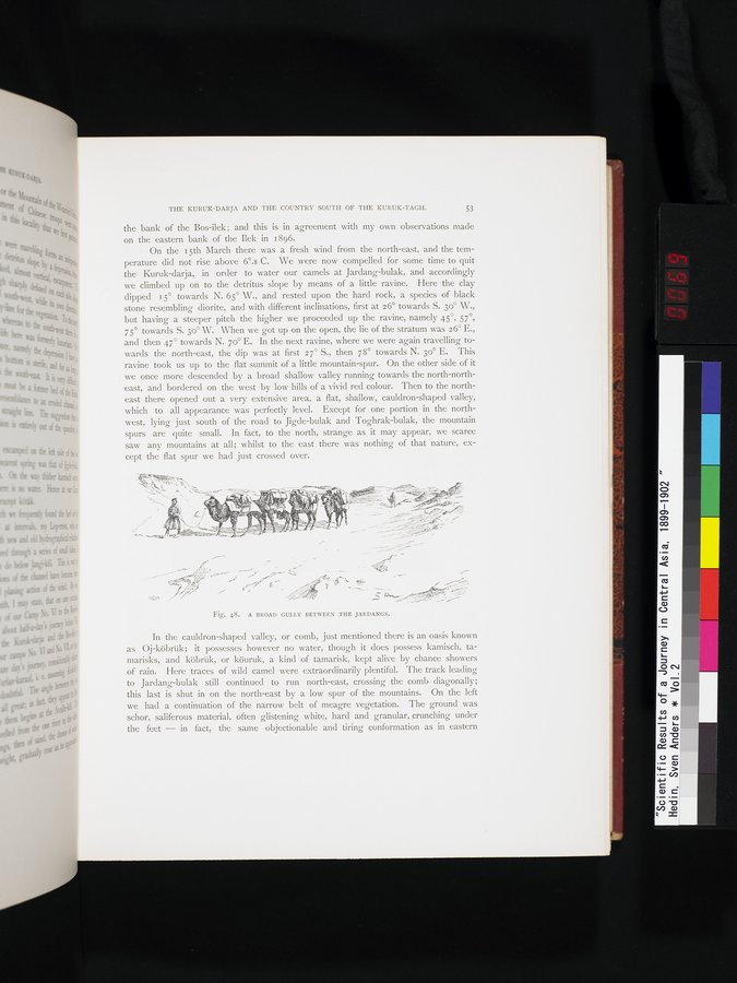 |
| A BROAD GULLY BETWEEN THE JARDANGS. |
THE KURUK-DARJA AND THE COUNTRY SOUTH OF THE KURUK-TAGH. 53
the bank of the Bos-ilek ; and this is in agreement with my own observations made on the eastern bank of the Ilek in 1896.
On the 15th March there was a fresh wind from the north-east, and the temperature did not rise above 6°.8 C. We were now compelled for some time to quit the Kuruk-darja, in order to water our camels at Jardang-bulak, and accordingly we climbed up on to the detritus slope by means of a little ravine. Here the clay dipped 15° towards N. 65° W., and rested upon the hard rock, a species of black stone resembling diorite, and with different inclinations, first at 26° towards S. 30° W., but having a steeper pitch the higher we proceeded up the ravine, namely 45 57 75° towards S. 3o° W. When we got up on the open, the lie of the stratum was 26° E., and then 47° towards N. 70° E. In the next ravine, where we were again travelling towards the north-east, the dip was at first 2 7° S., then 78° towards N. 3o° E. This ravine took us up to the flat summit of a little mountain-spur. On the other side of it we once more descended by a broad shallow valley running towards the north-northeast, and bordered on the west by low hills of a vivid red colour. Then to the northeast there opened out a very extensive area, a flat, shallow, cauldron-shaped valley, which to all appearance was perfectly level. Except for one portion in the northwest, lying just south of the road to Jigde-bulak and Toghrak-bulak, the mountain spurs are quite small. In fact, to the north, strange as it may appear, we scarce saw any mountains at all; whilst to the east there was nothing of that nature, except the flat spur we had just crossed over.
Fig. 48. A BROAD GULLY BETWEEN THE JARDANGS.
In the cauldron-shaped valley, or comb, just mentioned there is an oasis known as Oj-köbrük; it possesses however no water, though it does possess kamisch, tamarisks, and köbrük, or köuruk, a kind of tamarisk, kept alive by chance showers of rain. Here traces of wild camel were extraordinarily plentiful. The track leading to Jardang-bulak still continued to run north-east, crossing the comb diagonally; this last is shut in on the north-east by a low spur of the mountains. On the left we had a continuation of the narrow belt of meagre vegetation. The ground was schor, saliferous material, often glistening white, hard and granular, crunching under the feet — in fact, the same objectionable and tiring conformation as in eastern
|
Copyright (C) 2003-2019 National Institute of Informatics and The Toyo Bunko. All Rights Reserved.