National Institute of Informatics - Digital Silk Road Project
| |||||||||
|
| Scientific Results of a Journey in Central Asia, 1899-1902 : vol.2 |
 |
| THE TERRACE LOOKING EAST FROM TOGHRAK-KUDUK. |
496 THE CENTRAL ASIAN DESERTS, SAND-DUNES, AND SANDS.
on the south, tamarisk-mounds being between it and us, while to the north was a level dark surface, diversified by lighter areas, clearly isolated patches of sand. Then we crossed a small offshoot of sand, the dunes of which turned their steep faces towards the west and west-south-west. To the west of that however the country underwent a total change. To the north of our route we had a yellow kamisch steppe, dotted over with solitary tamarisk-mounds and extending to an immense distance in every direction. To the south, immediately on the left of our
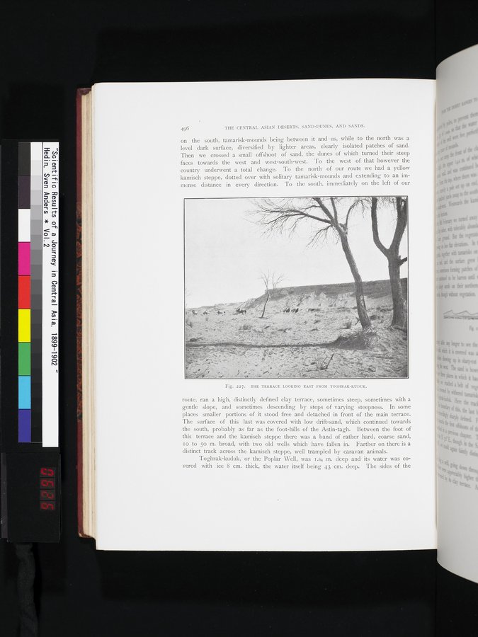
Fig. 227. THE TERRACE LOOKING EAST FROM TOGHRAK-KUDUK.
route, ran a high, distinctly defined clay terrace, sometimes steep, sometimes with a gentle slope, and sometimes descending by steps of varying steepness. In some places smaller portions of it stood free and detached in front of the main terrace. The surface of this last was covered with low drift-sand, which continued towards the south, probably as far as the foot-hills of the Astin-tagh. Between the foot of this terrace and the kamisch steppe there was a band of rather hard, coarse sand, 10 to 5o m. broad, with two old wells which have fallen in. Farther on there is a distinct track across the kamisch steppe, well trampled by caravan animals.
Toghrak-kuduk, or the Poplar Well, was 1.64 m. deep and its water was covered with ice 8 cm. thick, the water itself being 43 cm. deep. The sides of the
|
Copyright (C) 2003-2019 National Institute of Informatics and The Toyo Bunko. All Rights Reserved.