National Institute of Informatics - Digital Silk Road Project
| |||||||||
|
| Scientific Results of a Journey in Central Asia, 1899-1902 : vol.2 |
 |
| ANOTHER VIEW FROM THE SAME PLACE, SHOWING AN EDDY OF THE RIVER ENTERING THE SAND ON THE EASTERN BANK. |
338 THE LOP-NOR PROBLEM.
on the west. There can be no doubt, that at the time when the river first turned towards the south at Basch-arghan, and formed the Ettek-tarim, it made its way along a string of bajir depressions that already existed between two dune-accumulations. These already existing hollows soon became filled with water, and no doubt for some time formed a series of small lakes, similar to the existing chain of the Sadak-köl, Nias-köl, Tschong-köl, etc, that constitute the eastern waterway. In process of time these small lakes became filled with fluvial sediment, and very soon the regular channel, possessing approximately the same breadth throughout, came into being, i. e. the south-going stream known subsequently as the Ettek-tarim; and lastly the forest spread along its bank.
—
â
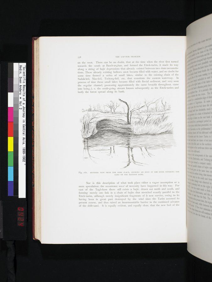
Fig. 161. ANOTHER VIEW FROM THE SAME PLACE, SHOWING AN EDDY OF THE RIVER ENTERING THE SAND ON THE EASTERN BANK.
Nor is this description of what took place either a vague assumption or a mere speculation: the occurrence must of necessity have happened in this way. For east of the Tagh-kum there still exists a bajir, drawn out north and south, and forming merely one link in a chain of bajirs that stretched exactly parallel to the Ettek-tarim, although merely insignificant fragments of it now survive, owing to its having been in great part destroyed by the wind since the Tarim assumed its present course, and thus raised an insurmountable barrier to the continued advance of the drift-sand. It is equally evident, and equally clear, that the new bed of the
|
Copyright (C) 2003-2019 National Institute of Informatics and The Toyo Bunko. All Rights Reserved.