National Institute of Informatics - Digital Silk Road Project
| |||||||||
|
| Scientific Results of a Journey in Central Asia, 1899-1902 : vol.2 |
 |
| PARTS OF THE DESERT RANGE SEEN FROM THE SOUTH. | |
| Vertical section of terrace |
FROM THE ANAMBARUIN-GOL TO THE DESERT-RANGE. 475
N65 747 N4S `74T
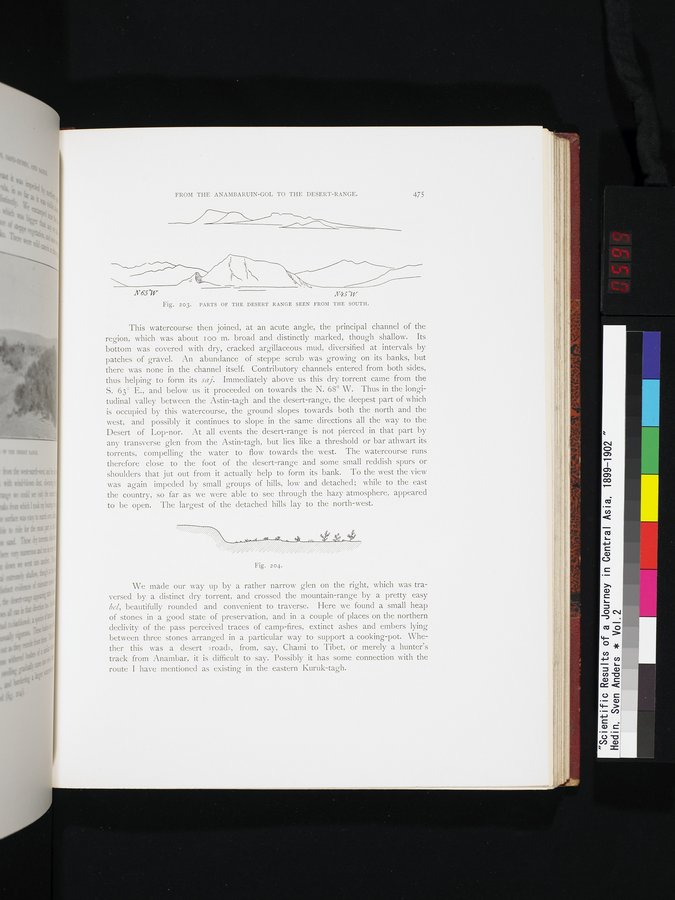
Fig. 203. PARTS OF THE DESERT RANGE SEEN FROM THE SOUTH.
This watercourse then joined, at an acute angle, the principal channel of the region, which was about I oo m. broad and distinctly marked, though shallow. Its bottom was covered with dry, cracked argillaceous mud, diversified at intervals by patches of gravel. An abundance of steppe scrub was growing on its banks, but there was none in the channel itself. Contributory channels entered from both sides, thus helping to form its saj. Immediately above us this dry torrent came from the S. 63° E., and below us it proceeded on towards the N. 68° W. Thus in the longitudinal valley between the Astin-tagh and the desert-range, the deepest part of which is occupied by this watercourse, the ground slopes towards both the north and the west, and possibly it continues to slope in the same directions all the way to the Desert of Lop-nor. At all events the desert-range is not pierced in that part by any transverse glen from the Astin-tagh, but lies like a threshold or bar athwart its torrents, compelling the water to flow towards the west. The watercourse runs therefore close to the foot of the desert-range and some small reddish spurs or shoulders that jut out from it actually help to form its bank. To the west the view was again impeded by small groups of hills, low and detached; while to the east the country, so far as we were able to see through the hazy atmosphere, appeared to be open. The largest of the detached hills lay to the north-west.
Fig. 204-
We made our way up by a rather narrow glen on the right, which was traversed by a distinct dry torrent, and crossed the mountain-range by a pretty easy bel, beautifully rounded and convenient to traverse. Here we found a small heap of stones in a good state of preservation, and in a couple of places on the northern declivity of the pass perceived traces of camp-fires, extinct ashes and embers lying between three stones arranged in a particular way to support a cooking-pot. Whether this was a desert »road», from, say, Chami to . Tibet, or merely a hunter's track from Anambar, it is difficult to say. Possibly it has some connection with the route I have mentioned as existing in the eastern Kuruk-tagh.
|
Copyright (C) 2003-2019 National Institute of Informatics and The Toyo Bunko. All Rights Reserved.