National Institute of Informatics - Digital Silk Road Project
| |||||||||
|
| Scientific Results of a Journey in Central Asia, 1899-1902 : vol.2 |
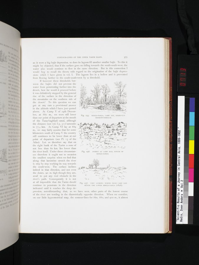 |
| KERIJA-DARJA, CAMP XXI, SHARP-CUT EROSION-TERRACE. | |
| DESERT AT CAMP XXII, NORTH OF KERIJA-DARJA. | |
| VIEW LOOKING NORTH FROM CAMP XXII BESIDE THE LOWER KERIJA-DARJA (1896). |
CONTOUR-LINES OF THE UPPER TARIM BASIN. 573
as it were a big bajir depression, so does its lagoon fill another smaller bajir. To this it might be objected, that if the surface goes on falling towards the south-south-west, the
water also would continue to flow in the same direction. But in this connection I would beg to recall the theory with regard to the origination of the . bajir depressions which I have given in vol. I. The lagoon lies in a hollow and is prevented from flowing farther to the south-south-west by a threshold.
If however these thresholds bet-
ween the bajirs did not prevent the j(
water from penetrating farther into the desert, how far would it proceed before it was definitively stopped by the general rise of the surface in the direction of the mountains on the southern side of the desert? To this question we can get at any rate a provisional. answer in the altitude which I have just quoted above. At Camp V of 24th December, at 88o m., we were still lower than our point of departure at the mouth of the Tana-baghladi canal, although
the distance (see vol. I p. 312) amounts
to 77.s km. As Camp VI lay at 889
fairly for some .~o,l~/d J 1.\~4 .a- -. s- w•. ~. .6 AI/.. u,l//.~
kilometers south of Camp V the country ...•.-
still continues to be lower than at our ~~ ^~ ~-~.. y,
point of de arture (see Pl. I of the "= /,-- ~ _ ._,.~-
Atlas). Let us therefore say that on f y ,
the right bank of the Tarim a zone of ; Y =~~ s ue '
not less than 8o km. lies lower than :_.-..4 y-~ -~_
the river itself. Under these circumstances therefore it ought not to occasion the smallest surprise when we find that along that lacustrine stretch the river is step by step working its way towards
the south-west. The surface inclines`t~ `~_~^'' ..«. ,~ - •
indeed in that direction, and not even '-1 , y:_~4,,~,.,., :r - '~ . : _ ~.
the dunes, 90 m. high though they are, - 4. °. 40/ y '~"t'~ ., ,. ",
avail to put any real obstacle in the ` 4.. * .r '•_ y.1>>/y _ v' „~~
river's path. Consequently it is not \ti's:.,, "'!, :--. ... k.•
at all impossible that the Tarim should Fig. 257. VIEW LOOKING NORTH FROM CAMP XXII
continue tO penetrate in the direction BESIDE THE LOWER KERIJA-DARJA (1896).
indicated until it reaches the deep de-
pression, notwithstanding that, as we have seen, other parts of the lowest course of the river are tending in the diametrically opposite direction. When we consider, on our little hypsometrical map, the contour-lines for 86o, 88o, and 900 m., it almost
Fig. 255. KERIJA-DARJA, CAMP XXI, SHARP-CUT EROSION-TERRACE.
Fig. 256. DESERT AT CAMP XXII, NORTH OF
KERIJA-DARJA.
|
Copyright (C) 2003-2019 National Institute of Informatics and The Toyo Bunko. All Rights Reserved.