National Institute of Informatics - Digital Silk Road Project
| |||||||||
|
| Scientific Results of a Journey in Central Asia, 1899-1902 : vol.2 |
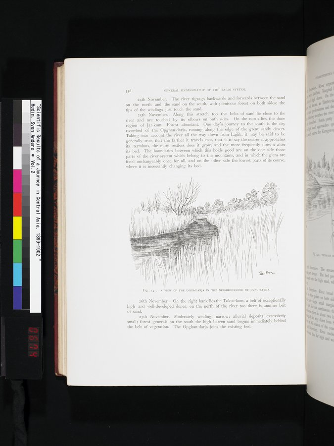 |
| A VIEW OF THE UGEN-DARJA IN THE NEIGHBOURHOOD OD DUNG-SATMA. |
538 GENERAI. HYDROGRAPHY OF THE TARIM SYSTEM.
24th November. The river zigzags backwards and forwards between the sand on the north and the sand on the south, with plenteous forest on both sides; the tips of the windings just touch the sand.
25th November. Along this stretch too the belts of sand lie close to the river and are touched by its elbows on both sides. On the north lies the dune region of Jar-kum. Forest abundant. One day's journey to the south is the dry river-bed of the Opghan-darja, running along the edge of the great sandy desert. Taking into account the river all the way down from Lajlik, it may be said to be generally true, that the farther it travels east, that is to say the nearer it approaches its terminus, the more restless does it grow, and the more frequently does it alter its bed. The boundaries between which this holds good are on the one side those parts of the river-system which belong to the mountains, and in which the glens are fixed unchangeably once for all, and on the other side the lowest parts of its course, where it is incessantly changing its bed.
l~
I
II~~ /
1 11/'/,`' ~) ~ ~ ~ ,
~•~ ~~~~j~r ~ï O' l i
r I f'~ir ~ Î~I ~ ✓~ ~~~ ~~~~ ~,~'~/~ll~l~~~
II' ~ 10 ~~ ~~, ~~~ /% ~~ ,'~~i,w ;~ ,,;. .~ -- ~ ,'~r,~~> <
If Il ~I ~I ~~ >~ Z ~~{~~Ir~ ,'`~l~ i,
1)111 I~1 I ~ Ir /~~ ~ ~ ,II I~I l ,I ,I,// , ,~ , Ij ~ >~ l ~ i ,, I~ q rl!II 4 I !1 ~ ~ ~ 1~\ ►I,(,~P/` rr II,
I1/{ii
, 1 I :~-__ ~~,,,.: ~~11 i~, J II~~~ ~~~~►~ --- =ï I _~~~~._ ~I I (
-,=.
lid-_ I-" II )~'_;_ _; illYi l~~I~11 ~_~-~~;= ~~ if
.~1~ ~~~~~ ~ I ~ I I
~~_~~--~~_=° _-=~ '~-~_Iililli~~ ~
~~~ ~~~=~~ ~ s= ~~^~~~-=~ _ ~ 1
A
=~ ,
~- ~ i
~
`r ~
_
-I i ~.:~►,~ .~ I.,,d, s. +~.-.--•
~
~ I
Fig. 241. A VIEW OF THE UGEN-DARJA IN THE NEIGHBOURHOOD OF DUNG-SATIIA.
26th November. On the right bank lies the Tokus-kum, a belt of exceptionally high and well-developed dunes; on the north of the river too there is another belt of sand.
27th November. Moderately winding, narrow; alluvial deposits excessively small; forest general; on the south the high barren sand begins immediately behind the belt of vegetation. The Opghan-darja joins the existing bed.
|
Copyright (C) 2003-2019 National Institute of Informatics and The Toyo Bunko. All Rights Reserved.