National Institute of Informatics - Digital Silk Road Project
| |||||||||
|
| Southern Tibet : vol.7 |
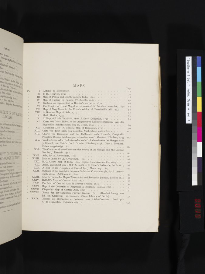 |
MAPS
Page
24
30
Antonio de Monserrate .
B. H. Hodgson, 1849 .
Map of Persia and North-western India, 1604 Map of Tartary by Sanson d'Abbeville, 1683 . Kashmir as represented in Bernier's narrative,
48
62
1670 . . . . 66
The Empire of Great Mogul as represented in Bernier's narrative, 1670 68
Map of Mogolistan in the French edition of Sherefeddin Ali, 1723 . . 7o
A German Map of Asia, 1719 . . 72
Math. Hasius, 1739 . . . 76
A Map of Little Bukharia, from Astley's Collection, 1747 . . . 8o
Karte von Gross Thibet zu der Allgemeinen Reisebeschreibung. Aus den
Englischen Schriftstellern von M. Bellin, 1749 . . . . . 80
Alexander Dow : A General Map of Hindostan, 1768 . . . . 96
Carte von Tibet nach den neuesten Nachrichten entworfen, 1790 . . . 112 Charte von Hindostan und der Halbinsel, nach Rennells, Campbells, Pringles, Diroms Zeichnungen entworfen von C. Mannert, Nürnberg 1797 112 Vorder-Indien oder Hindostan oder auch Ostindien disseits der Ganges nach
J. Rennell, von Friedr. Gottl. Canzler, Nürnberg 1798. Bey d. Homann.
Erben ausgefertigt 1804 . . . . . . I I2
The Countries situated between the Source of the Ganges and the Caspian
Sea by J. Rennell, 1788 .
•
Asia, by A. Arrowsmith, i 8o1 .
Map of India by A. Arrowsmith, 1804 .
H. C. Albers' Map of India, 1806, copied from Arrowsmith, 1804 .
Asien, gezeichnet von J. M. F. Schmidt zu C. Ritter's Erdkunde, Berlin 1819 116
A Map of the Kingdom of Caubul by J. Macartney, 1815
120
I20
126
I28
134
140
150
152
Outlines of the Countries between Delhi and Constantinople, by A. Arrow-
smith 1814. Additions to 1816 . . . . . . . .
John Arrowsmith's Map of Moorcroft's and Trebeck's journey, London 184 I
Baldelli's Map of Central Asia, 1822 . . . .
The Map of Central Asia in Murray's work, 1820 . .
Map of the Countries of Ferghana & Bokhara, London 1826
Klaproth's Map of Central Asia, 1836 . . . . . . . . .
Charte der Tibetanischen Provinz Kamu, 1821. (Handzeichnung von
Jul. von Klaproth.) i : 2 000 000. (State Library of Berlin) . . . Chaînes de Montagnes et Volcans dans l'Asie -Centrale. Essai
A. de Humboldt. Potsdam 1830 . . . . . .
par
. 156
|
Copyright (C) 2003-2019 National Institute of Informatics and The Toyo Bunko. All Rights Reserved.