National Institute of Informatics - Digital Silk Road Project
| |||||||||
|
| Southern Tibet : vol.7 |
 |
•
•
574
THE TRANSHIMALAYAN RANGES.
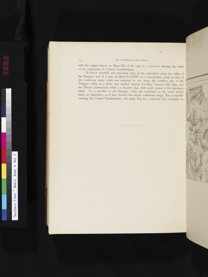
with the ranges drawn on Sheet XIV of the map in I : I 000 000 showing the result of my exploration in Central Transhimalaya.
RI'DER'S beautiful and important map of his exploration along the valley of the Tsangpo, and of a part of which Pl. LXXIV is a reproduction, gives an idea of the continuous range which was supposed to run along the northern side of the Tsangpo valley as a sharp and marked natural boundary between . this valley and the Tibetan plateau-land which, on Ryder's map, with good reason is left absolutely blank. To a traveller in the Tsangpo valley the mountains to the north indeed make an impression as if they formed one single continuous range. But a traveller crossing the Central Transhimalayå will easily find how erroneous this conception is.
~
•
•
|
Copyright (C) 2003-2019 National Institute of Informatics and The Toyo Bunko. All Rights Reserved.