National Institute of Informatics - Digital Silk Road Project
| |||||||||
|
| Southern Tibet : vol.7 |
 |
|
| ||||||
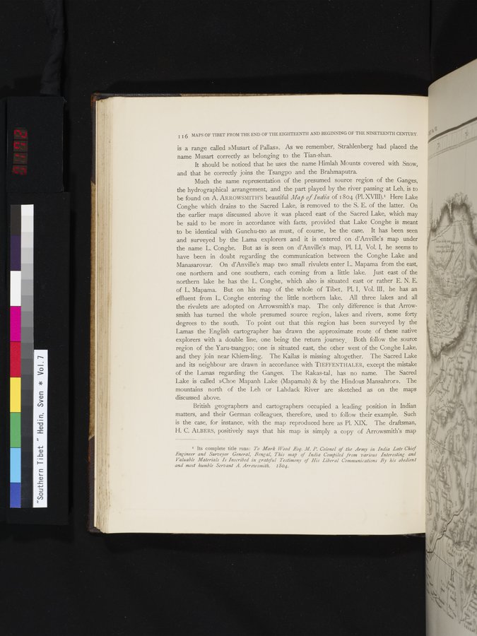
| I I 6 MAPS OF TIBET FROM THE END OF THE EIGHTEENTH AND BEGINNING OF THE NINETEENTH CENTURY. is a range called »Musart of Pallas». As we remember, Strahlenberg had placed the name Musart correctly as belonging to the Tian-shan. It should be noticed that he uses the name Himlah Mounts covered with Snow, and that he correctly joins the Tsangpo and the Brahmaputra. Much the same representation of the presumed source region of the Ganges, the hydrographical arrangement, and the part played by the river passing at Leh, is to be found on A. ARROWSMITH'S beautiful Map of India of 1804 (Pl. XVIII),I Here Lake Conghe which drains to the Sacred Lake, is removed to the S. E. of the latter. On the earlier maps discussed above it was placed east of the Sacred Lake, which may be said to be more in accordance with facts, provided that Lake Conghe is meant to be identical with Gunchu-tso as must, of course, be the case. It has been seen and surveyed by the Lama explorers and it is entered on d'Anville's map under the name L. Conghe. But as is seen on d'Anville's map, Pi. LI, Vol. I, he seems to have been in doubt regarding the communication between the Conghe Lake and Manasarovar. On d'Anville's map two small rivulets enter L. Mapama from the east, one northern and one southern, each coming from a little lake. Just east of the northern lake he has the L. Conghe, which also is situated east or rather E. N. E. of L. Mapama. But on his map of the whole of Tibet, Pl. I, Vol. III, he has an effluent from L. Conghe entering the little northern lake. All three lakes and all the rivulets are adopted on Arrowsmith's map. The only difference is that Arrow-smith has turned the whole presumed source region, lakes and rivers, some forty degrees to the south. To point out that this region has been surveyed by the Lamas the English cartographer has drawn the approximate route of these native explorers with a double line, one being the return journey. Both follow the source region of the Yaru-tsangpo; one is situated east, the other west of the Conghe Lake, and they join near Khiem-ling. The Kailas is missing altogether. The Sacred Lake and its neighbour are drawn in accordance with TIEFFENTHALER, except the mistake of the Lamas regarding the Ganges. The Rakas-tai , has no name. The Sacred Lake is called »Choe Mapanh Lake (Mapamah) & by the Hindous Mansahror». The mountains north of the Leh or Landack River are sketched as on the maps discussed above. British geographers and cartographers occupied a leading position in Indian matters, and their German colleagues, therefore, used to follow their example. Such is the case, for instance, with the map reproduced here as Pl. XIX. The draftsman, H. C. ALBERS, positively says that his map is simply a copy of Arrowsmith's map I Its complete title runs: To Mark Wood Esq. M. P. Colonel of the Army in India Late Chief Engineer and Surveyor General, Bengal, This map of India Compiled from various Interesting and Valuable Materials Is Inscribed in grateful Testimony of His Liberal Communications By his obedient and most humble Servant A. Arrowsmith. 1804. | ||||||
| • | ||||||
|
Copyright (C) 2003-2019 National Institute of Informatics and The Toyo Bunko. All Rights Reserved.