National Institute of Informatics - Digital Silk Road Project
| |||||||||
|
| Southern Tibet : vol.7 |
 |
ANTONIO DE MONSERRATE.
30
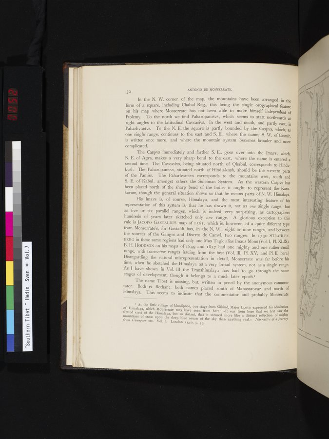
In the N. W. corner of the map, the mountains have been arranged in the form of a square, including Chabul Reg., this being the single orographical feature on his map where Monserrate has not been able to make himself independent of Ptolemy. To the north we find Paharopanisys, which seems to start northwards at right angles to the latitudinal Cavcasivs. In the west and south, and partly east, is Paharhvaetvs. To the N. E. the square is partly bounded by the Caspvs, which, as one single range, continues to the east and S. E., where the name, S. W. of Casmir, is written once more, and where the mountain system becomes broader and more
complicated.
The Caspvs immediately and farther S. E., goes over into the Imays, which, N. E. of Agra, makes a very sharp bend to the east, where the name is entered a second time. The Cavcasivs, being situated north of Qhabul, corresponds to Hindukush. The Paharopanisys, situated north of Hindu-kush, should be the western parts of the Pamirs. The Paharhvaetvs corresponds to the mountains west, south and S. E. of Kabul , amongst others the Suleiman System. As the western Caspvs has been placed north of the sharp bend of the Indus, it ought to represent the Karakorum, though the general situation shows us that he means parts of N. W. Himalaya.
His Imays is, of course, Himalaya, and the most interesting feature of his representation of this system is, that he has drawn it, not as one single range, but as five or six parallel ranges, which is indeed very surprising, as cartographers hundreds of years later sketched only one range. A glorious exception to this rule is JACOPO G ASTALDI'S map of 1561, which is, however, of a quite different type from Monserrate's, for Gastaldi has, in the N. W., eight or nine ranges, and between the sources of the Ganges and Diserto de Camvl, two ranges. In 1730 STRAHLENBERG in these same regions had only one Mus Tagk alias Imaus Mons (Vol. I, Pl. XLIX). B. H. HODGSON on his maps of 1849 and 1857 had one mighty and one rather small range, with transverse ranges issuing from the first (Vol. III, Pl. XV, and Pl. II, here.) Disregarding the natural misrepresentation in detail, Monserrate was far before his time, when he sketched the Himalaya as a very broad system, not as a single range. As I have shown in Vol. III the Transhimalaya has had to go through the same stages of development, though it belongs to a much later epoch.'
The name Tibet is missing, but, written in pencil by the anonymous commentator: Both et Bothant, both names placed south of Manasarovar and north of Himalaya. This seems to indicate that the commentator and probably Monserrate
I At the little village of Moolipoor, one stage from Sirhind, Major LLOYD expressed his admiration of Himalaya, which Monserrate may have seen from here: »It~was from here that we first saw the fretted crest of the Himalaya, but so distant, that it seemed more like a distinct reflection of mighty mountains of snow upon the deep blue ocean of the sky than anything real.» Narrative of a journey from Caunpoor etc. Vol. I. London 184o, p. 73.
|
Copyright (C) 2003-2019 National Institute of Informatics and The Toyo Bunko. All Rights Reserved.