国立情報学研究所 - ディジタル・シルクロード・プロジェクト
| |||||||||
|
| Across Asia : vol.1 | |
| アジア横断 : vol.1 |
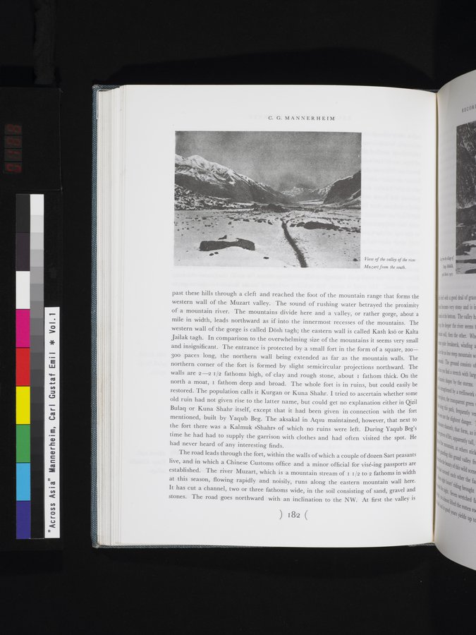 |
| 南から見たムザルト川渓谷の眺めView of the valley of the river Muzart from the south. |
C. G. MANNERHEIM
past these hills through a cleft and reached the foot of the mountain range that forms the western wall of the Muzart valley. The sound of rushing water betrayed the proximity of a mountain river. The mountains divide here and a valley, or rather gorge, about a mile in width, leads northward as if into the innermost recesses of the mountains. The western wall of the gorge is called Dösh tagh; the eastern wall is called Kash ksö or Kalta Jailak tagh. In comparison to the overwhelming size of the mountains it seems very small and insignificant. The entrance is protected by a small fort in the form of a square, 200300 paces long, the northern wall being extended as far as the mountain walls. The northern corner of the fort is formed by slight semicircular projections northward. The walls are 2-2 1/2 fathoms high, of clay and rough stone, about i fathom thick. On the north a moat, i fathom deep and broad. The whole fort is in ruins, but could easily be restored. The population calls it Kurgan or Kuna Shahr. I tried to ascertain whether some old ruin had not given rise to the latter name, but could get no explanation either in Qizil Bulaq or Kuna Shahr itself, except that it had been given in connection with the fort mentioned, built by Yaqub Beg. The aksakal in Aqsu maintained, however, that next to the fort there was a Kalmuk »Shahr» of which no ruins were left. During Yaqub Beg's time he had had to supply the garrison with clothes and had often visited the spot. He had never heard of any interesting finds.
The road leads through the fort, within the walls of which a couple of dozen Sart peasants live, and in which a Chinese Customs office and a minor official for visé-ing passports are established. The river Muzart, which is a mountain stream of i i /2 to 2 fathoms in width at this season, flowing rapidly and noisily, runs along the eastern mountain wall here. It has cut a channel, two or three fathoms wide, in the soil consisting of sand, gravel and stones. The road goes northward with an inclination to the NW. At first the valley is
-°4~-~~ ~.
~ ~ j
~~ ♦• f •1af~
~
'""eowth~4ItiPl.ilproLsV
View of the valley of the river Muzart from the south.
IOW
1s2
|
Copyright (C) 2003-2019
National Institute of Informatics(国立情報学研究所)
and
The Toyo Bunko(東洋文庫). All Rights Reserved.
本ウェブサイトに掲載するデジタル文化資源の無断転載は固くお断りいたします。