国立情報学研究所 - ディジタル・シルクロード・プロジェクト
| |||||||||
|
| Explorations in Turkestan 1903 : vol.1 | |
| トルキスタンの調査 1903年 : vol.1 |
 |
| ギヤウル・カラにある占領の残骸が堆積した高原Plateau of Accumulated Debris of Occupation in Ghiaur Kala. |
ANCIENT SITES. I I
during historic times. Situated in the heart of the very fertile oasis of the Zerafshan River, it lies also on the most open and easiest caravan routes connecting China and eastern Turkestan with Afghanistan, India, and Persia.
Samarkand has, even within the past two thousand years, been sacked, destroyed, and rebuilt many times. Like Merv, its rebuildings have often been on adjoining sites, and the determining of the whole area covered by these various sites remains to be made. There is evidence that it is very extensive. The most ancient seems to be the plateau or "tell" called "Afrosiab," to which tradition assigns the site of the Samarkand Maracanda of Alexander the Great. This is a plateau of "made earth," the débris of ruins, standing on the "loess" plain. It is covered to a great extent with Mohammedan cemeteries, with some traces of Mussulman
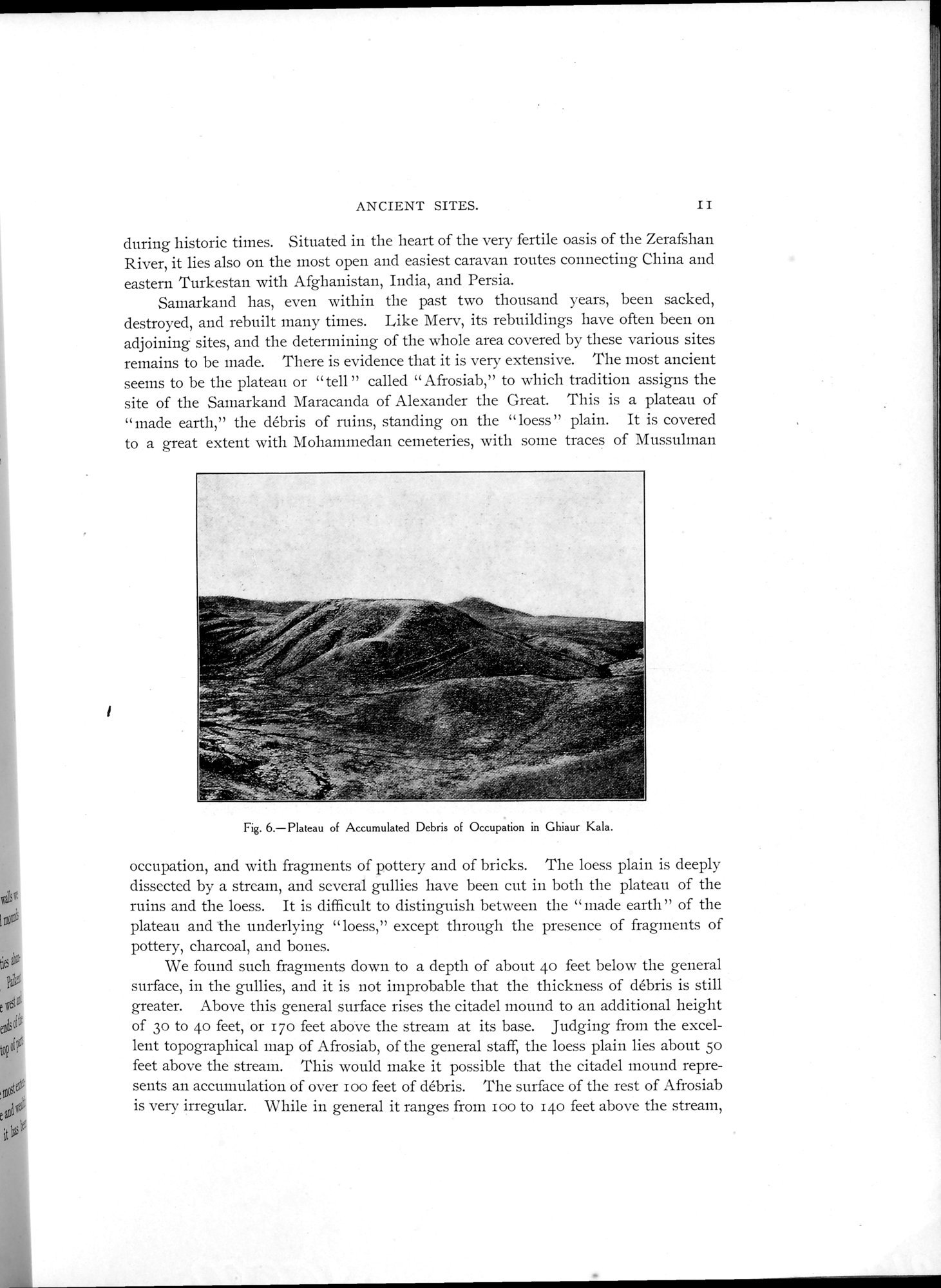
Fig. 6.—Plateau of Accumulated Debris of Occupation in Ghiaur Kala.
occupation, and with fragments of pottery and of bricks. The loess plain is deeply dissected by a stream, and several gullies have been cut in both the plateau of the ruins and the loess. It is difficult to distinguish between the "made earth" of the plateau and the underlying "loess," except through the presence of fragments of pottery, charcoal, and bones.
We found such fragments down to a depth of about 4o feet below the general surface, in the gullies, and it is not improbable that the thickness of débris is still greater. Above this general surface rises the citadel mound to an additional height of 3o to 4o feet, or 170 feet above the stream at its base. Judging from the excellent topographical map of Afrosiab, of the general staff, the loess plain lies about 5o feet above the stream. This would make it possible that the citadel mound represents an accumulation of over loo feet of débris. The surface of the rest of Afrosiab is very irregular. While in general it ranges from loo to 14o feet above the stream,
Fr
|
Copyright (C) 2003-2019
National Institute of Informatics(国立情報学研究所)
and
The Toyo Bunko(東洋文庫). All Rights Reserved.
本ウェブサイトに掲載するデジタル文化資源の無断転載は固くお断りいたします。