国立情報学研究所 - ディジタル・シルクロード・プロジェクト
| |||||||||
|
| Explorations in Turkestan 1903 : vol.1 | |
| トルキスタンの調査 1903年 : vol.1 |
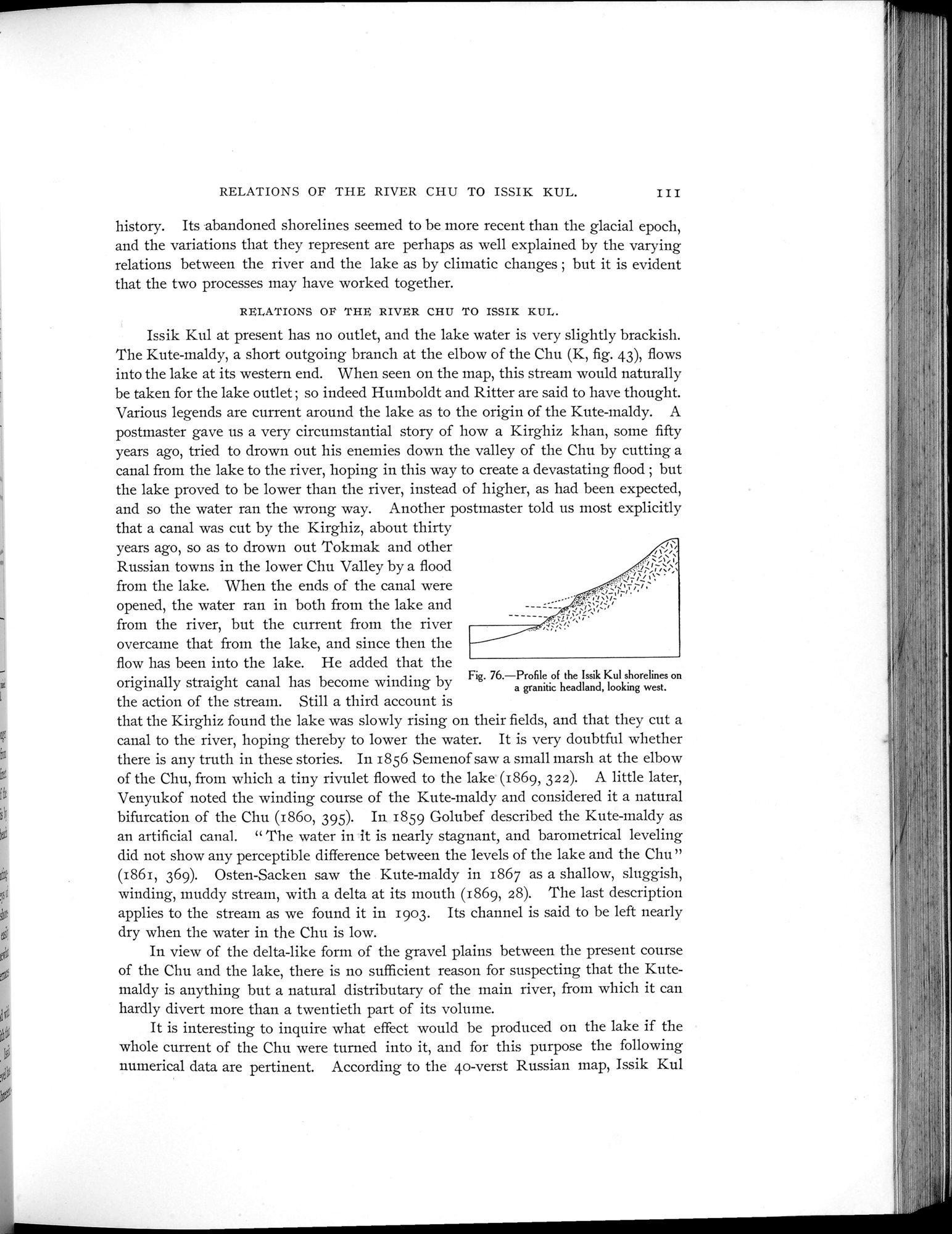 |
| ある花崗岩の岬上のイシククルの汀線の概略 西向きProfile of the Issik Kul shorelines on a granitic headland, looking west. |
RELATIONS OF THE RIVER CHU TO ISSIK KUL. III
history. Its abandoned shorelines seemed to be more recent than the glacial epoch, and the variations that they represent are perhaps as well explained by the varying relations between the river and the lake as by climatic changes ; but it is evident that the two processes may have worked together.
RELATIONS OF THE RIVER CHU TO ISSIK KUL.
Issik Kul at present has no outlet, and the lake water is very slightly brackish. The Kute-maldy, a short outgoing branch at the elbow of the Chu (K, fig. 43), flows into the lake at its western end. When seen on the map, this stream would naturally be taken for the lake outlet ; so indeed Humboldt and Ritter are said to have thought. Various legends are current around the lake as to the origin of the Kute-maldy. A postmaster gave us a very circumstantial story of how a Kirghiz khan, some fifty years ago, tried to drown out his enemies down the valley of the Chu by cutting a canal from the lake to the river, hoping in this way to create a devastating flood ; but the lake proved to be lower than the river, instead of higher, as had been expected, and so the water ran the wrong way. Another postmaster told us most explicitly
that a canal was cut by the Kirghiz, about thirty years ago, so as to drown out Tokmak and other Russian towns in the lower Chu Valley by a flood from the lake. When the ends of the canal were opened, the water ran in both from the lake and from the river, but the current from the river overcame that from the lake, and since then the flow has been into the lake. He added that the
originally straight canal has become winding by Fig. 76.—Profile of the Issik Kul shorelines on
a y g g y a granitic headland, looking west.
the action of the stream. Still a third account is
that the Kirghiz found the lake was slowly rising on their fields, and that they cut a canal to the river, hoping thereby to lower the water. It is very doubtful whether there is any truth in these stories. In 1856 Semenof saw a small marsh at the elbow of the Chu, from which a tiny rivulet flowed to the lake (1869, 322). A little later, Venyukof noted the winding course of the Kute-maldy and considered it a natural bifurcation of the Chu (186o, 395). In 1859 Golubef described the Kute-maldy as an artificial canal. " The water in it is nearly stagnant, and barometrical leveling did not show any perceptible difference between the levels of the lake and the Chu" (1861, 369). Osten-Sacken saw the Kute-maldy in 1867 as a shallow, sluggish, winding, muddy stream, with a delta at its mouth (1869, 28). The last description applies to the stream as we found it in 1903. Its channel is said to be left nearly dry when the water in the Chu is low.
In view of the delta-like form of the gravel plains between the present course of the Chu and the lake, there is no sufficient reason for suspecting that the Kutemaldy is anything but a natural distributary of the main river, from which it can hardly divert more than a twentieth part of its volume.
It is interesting to inquire what effect would be produced on the lake if the whole current of the Chu were turned into it, and for this purpose the following numerical data are pertinent. According to the 4o-verst Russian map, Issik Kul
|
Copyright (C) 2003-2019
National Institute of Informatics(国立情報学研究所)
and
The Toyo Bunko(東洋文庫). All Rights Reserved.
本ウェブサイトに掲載するデジタル文化資源の無断転載は固くお断りいたします。