国立情報学研究所 - ディジタル・シルクロード・プロジェクト
| |||||||||
|
| Explorations in Turkestan 1903 : vol.1 | |
| トルキスタンの調査 1903年 : vol.1 |
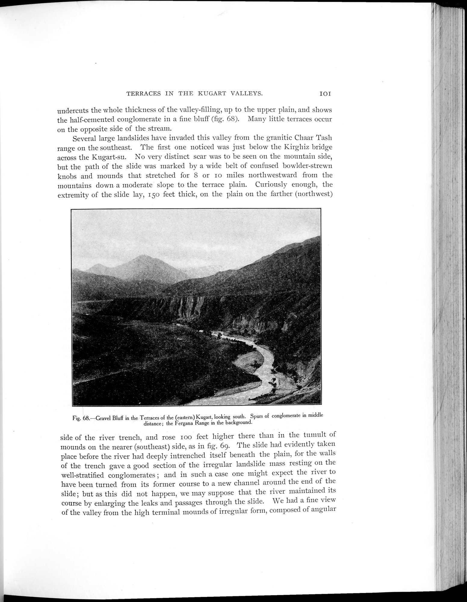 |
| (東)クガルト(Kugart)の段丘にある砂利の断崖 南向き 中央には礫岩の突出部(spurs);後方にはフェルガナ山脈Gravel Bluff in the Terraces of the (eastern) Kugart, looking south. Spurs of conglomerate in the middle distance; the Fergana Range in the background. |
| TERRACES IN THE KUGART VALLEYS. | IOI |
undercuts the whole thickness of the valley-filling, up to the upper plain, and shows the half-cemented conglomerate in a fine bluff (fig. 68). Many little terraces occur on the opposite side of the stream.
Several large landslides have invaded this valley from the granitic Chaar Tash range on the southeast. The first one noticed was just below the Kirghiz bridge across the Kugart-su. No very distinct scar was to be seen on the mountain side, but the path of the slide was marked by a wide belt of confused bowlder-strewn knobs and mounds that stretched for 8 or io miles northwestward from the mountains down a moderate slope to the terrace plain. Curiously enough, the extremity of the slide lay, 15o feet thick, on the plain on the farther (northwest)
Fig. 68.—Gravel Bluff in the Terraces of the (eastern) Kugart, looking south. Spurs of conglomerate in middle
distance; the Fergana Range in the background.
side of the river trench, and rose roo feet higher there than in the tumult of mounds on the nearer (southeast) side, as in fig. 69. The slide had evidently taken place before the river had deeply intrenched itself beneath the plain, for the walls of the trench gave a good section of the irregular landslide mass resting on the well-stratified conglomerates ; and in such a case one might expect the river to have been turned from its former course to a new channel around the end of the slide; but as this did not happen, we may suppose that the river maintained its course by enlarging the leaks and passages through the slide. We had a fine view of the valley from the high terminal mounds of irregular form, composed of angular
|
Copyright (C) 2003-2019
National Institute of Informatics(国立情報学研究所)
and
The Toyo Bunko(東洋文庫). All Rights Reserved.
本ウェブサイトに掲載するデジタル文化資源の無断転載は固くお断りいたします。