国立情報学研究所 - ディジタル・シルクロード・プロジェクト
| |||||||||
|
| Explorations in Turkestan 1903 : vol.1 | |
| トルキスタンの調査 1903年 : vol.1 |
 |
| ギヤウル・カラの中央の塚 60~80フィートの高さ オールド・メルブ 北向きThe Central Mound of Ghaiur Kala, from 60 to 80 feet high, in Old Merv, looking north. |
56 EXPLORATIONS IN TURKESTAN.
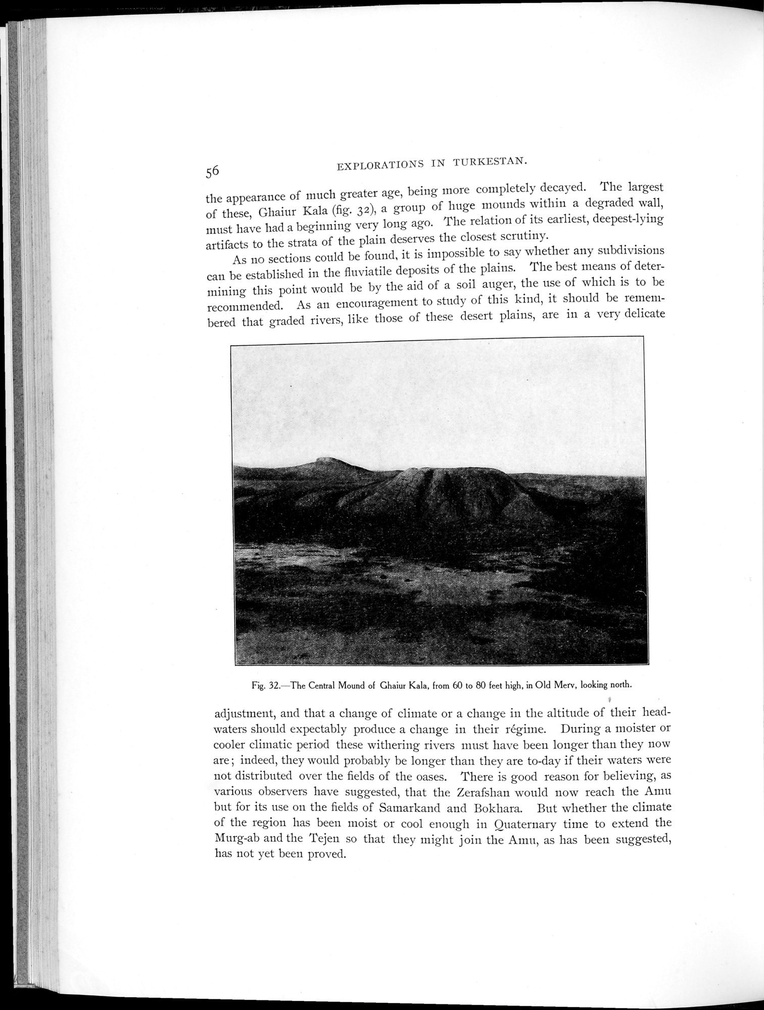
the appearance of much greater age, being more completely decayed. The largest of these, Ghaiur Kala (fig. 32), a group of huge mounds within a degraded wall, must have had a beginning very long ago. The relation of its earliest, deepest-lying artifacts to the strata of the plain deserves the closest scrutiny.
As no sections could be found, it is impossible to say whether any subdivisions can be established in the fluviatile deposits of the plains. The best means of determining this point would be by the aid of a soil auger, the use of which is to be recommended. As an encouragement to study of this kind, it should be remembered that graded rivers, like those of these desert plains, are in a very delicate
Fig. 32.—The Central Mound of Ghaiur Kala, from 60 to 80 feet high, in Old Merv, looking north.
adjustment, and that a change of climate or a change in the altitude of their headwaters should expectably produce a change in their régime. During a moister or cooler climatic period these withering rivers must have been longer than they now are ; indeed, they would probably be longer than they are to-day if their waters were not distributed over the fields of the oases. There is good reason for believing, as various observers have suggested, that the Zerafshan would now reach the Amu but for its use on the fields of Samarkand and Bokhara. But whether the climate of the region has been moist or cool enough in Quaternary time to extend the
Murg-ab and the Tejen so that they might join the Amu, as has been suggested, has not yet been proved.
|
Copyright (C) 2003-2019
National Institute of Informatics(国立情報学研究所)
and
The Toyo Bunko(東洋文庫). All Rights Reserved.
本ウェブサイトに掲載するデジタル文化資源の無断転載は固くお断りいたします。