国立情報学研究所 - ディジタル・シルクロード・プロジェクト
| |||||||||
|
| Explorations in Turkestan 1903 : vol.1 | |
| トルキスタンの調査 1903年 : vol.1 |
 |
| Taldic渓谷の段丘 下盤BからTaldic渓谷を見上げたもの グルチャ上部およそ63ベルスタ 下盤Aは右側の上部にあるTaldic Valley Terraces, looking up the Taldic Valley from Floor B, about 63 versts above Gulcha. Floor A is high up on the right. | |
| Taldic渓谷の段丘 下盤CからTaldic渓谷を見上げたもの グルチャ上部およそ46ベルスタTaldic Valley Terraces, looking up the Taldic Valley from Floor C, about 46 versts above Gulcha. |
| PHYSIOGRAPHIC OBSERVATIONS. | 149 |
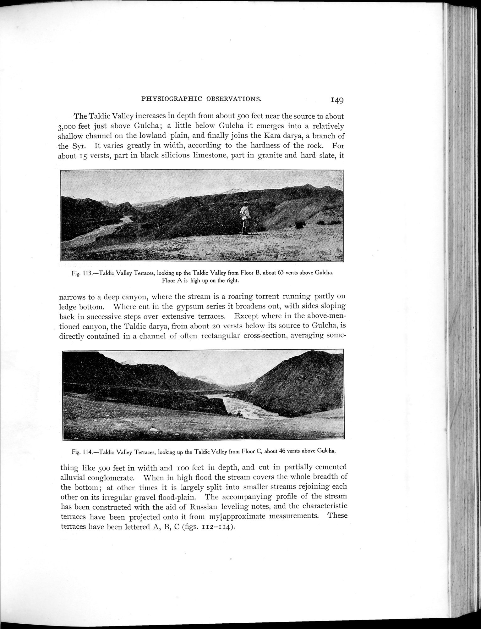
The Taldic Valley increases in depth from about 50o feet near the source to about 3,000 feet just above Gulcha ; a little below Gulcha it emerges into a relatively shallow channel on the lowland plain, and finally joins the Kara darya, a branch of the Syr. It varies greatly in width, according to the hardness of the rock. For about 15 versts, part in black silicious limestone, part in granite and hard slate, it
Fig. 113.--Taldic Valley Terraces, looking up the Taldic Valley from Floor B, about 63 versts above Gulcha. Floor A is high up on the right.
narrows to a deep canyon, where the stream is a roaring torrent running partly on ledge bottom. Where cut in the gypsum series it broadens out, with sides sloping back in successive steps over extensive terraces. Except where in the above-mentioned canyon, the Taldic darya, from about 20 versts below its source to Gulcha, is directly contained in a channel of often rectangular cross-section, averaging some-
Fig. 114.—Taldic Valley Terraces, looking up the Taldic Valley from Floor C, about 46 versts above Gulcha,
thing like soo feet in width and too feet in depth, and cut in partially cemented alluvial conglomerate. When in high flood the stream covers the whole breadth of the bottom ; at other times it is largely split into smaller streams rejoining each other on its irregular gravel flood-plain. The accompanying profile of the stream has been constructed with the aid of Russian leveling notes, and the characteristic terraces have been projected onto it from myúapproximate measurements. These terraces have been lettered A, B, C (figs. I t z—t t4).
.
J.
|
Copyright (C) 2003-2019
National Institute of Informatics(国立情報学研究所)
and
The Toyo Bunko(東洋文庫). All Rights Reserved.
本ウェブサイトに掲載するデジタル文化資源の無断転載は固くお断りいたします。